not as difficult
Cairo
v3 a3 III
4h17
45min
3h30
2min
400m
210m
190m
18m
2x20m
15
700m
Car optional
Rating:
★★★★★
2.8 (3)
Info:
★★★
3 (1)
Belay:
★★★
3 (1)
Summary:
machine translated
➜
Original language
Abseilcanyon
rappel canyon
West
Summary:
machine translated
➜
Original language
Abseilcanyon
rappel canyon
Access:
machine translated
➜
Original language
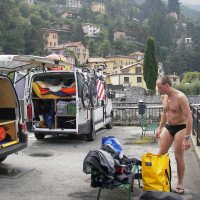
Von Como auf der SS 583 Richtung Bellagio. Nach 10 km (ab Stadtmitte Como) erreichen wir Faggeto Lario und nehmen die links hinunter zum Hafen abzweigende Straße. Bei dem kleinen Hafenbecken überquert man einen ersten Bach und kommt dann zu einer Brücke über den Cairo. RechtsDas Hotel/Restaurant Vapore. Hier in der Nähe stellen wir ein Auto ab.\nMit dem zweiten Autofahren wir zurück zur SS 583 und etwa 600m in Richtung Como. Dann nehmen wir die Straße links hinauf nach Palanzo (6,3 km ab Abzweigung). Hier biegen wir links in eine steil abfallende kleine Straße ab und gelangen nach etwa 150 m an deren Ende an eine Schule. Hier das zweite Auto babstellen.\nStatt der Autoumsetzung kann man auch am rechten Ufer des Cairos einen Weg hochsteigen.
From Como take the SS 583 towards Bellagio. After 10 km (from the center of Como) we reach Faggeto Lario and take the road that branches off to the left down to the port. At the small harbor basin, we cross a first stream and then come to a bridge over the Cairo. On the rightThe hotel/restaurant Vapore. Here near we park one car.\nWith the second car we go back to the SS 583 and about 600m in the direction of Como. Then we take the road on the left up to Palanzo (6.3 km from the turnoff). Here we turn left into a small road with a steep slope and after about 150m at its exit we arrive at a school. Here babstellen the second car.\nInstead of the shuttle you can also climb a path on the right bank of the Cairos.
Approach (45 min):
machine translated
➜
Original language
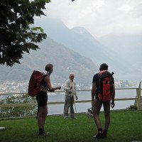
Vom Auto steigen wir Waldweg abwärts. Nach einer Serpentine fällt der Weg steil ab und in einer Kurve sehen wir einen Strommast. Weiter auf dem Forstweg kommen wir zu einem kleinen Haus mit Schranke. Hinter dem Haus beginnt dann ein Weg der nach etwa 5 Min. auf einem gedeckten Kanal zum Einstieg führt.
From the car we descend forest path. After a serpentine the path drops steeply and in a bend we see a power pole. Continuing on the forest road we come to a small house with a barrier. Behind the house begins a path that leads after about 5 minutes on a covered channel to the entry.
Tour (3 h 30):
machine translated
➜
Original language
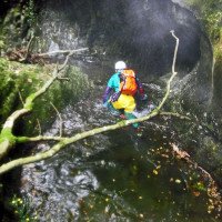
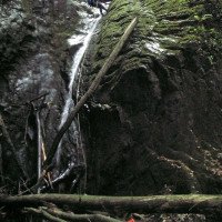
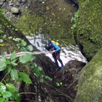
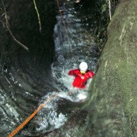
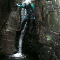
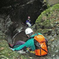
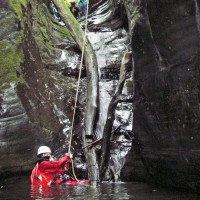
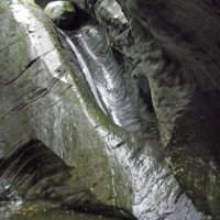
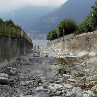
Zu Beginn ein verholzter Waldgraben gewinnt die Schlucht im weiteren Verlauf deutlich an Attraktivität.
At the beginning a woody forest canyon, the canyon becomes much more attractive as it progresses.
Return (2 min):
machine translated
➜
Original language
Bei Erreichen des Sees rechts hinaus.
When you reach the lake, go out to the right.
Coordinates:
Canyon End
Canyon Start
(descente_1)
Parking at Entry
(descente_3)
Parking at Exit
(descente_4)
Literatures:
Map
1:50000
Map
1:25000
Map
1:50000
Canyoning Book
Pascal van Duin
Edizioni TopCanyon
2005
978-8890175305
Cwiki Canyon Info
Descente Canyon Info
Ropewiki Canyon Info
Other Canyon Info
06.07.2024
Peter
⭐
★★★★★
📖
★★★
⚓
★★★
💧
Normal
Completed ✔
machine translated
➜
Original language
Bel torrente con tuffi e toboga. Tutto a posto.
Nice creek with dips and slides. All good.
09.03.2023
System User
⭐
★★★★★
📖
★★★
⚓
★★★
no translation available
Info: Teile der Canyonbeschreibung wurden automatisiert übernommen. Konkret die Felder Weblinks, Koordinaten, Rating, Länge des Canyon, Einfachseil Mindestens von https://www.descente-canyon.com/canyoning/canyon/21715
09.03.2023
System User
⭐
★★★★★
📖
★★★
⚓
★★★
no translation available
Daten importiert von https://canyon.carto.net/cwiki/bin/view/Canyons/CairoCanyon.html
New Report
Please briefly and concisely the most important information of the last tour or important current information about the canyon. If necessary with links to videos, photos, etc..
*
*
*
Esc
Del
Hydrology:
