a little difficult
Fecha
Country:
España / Spain
Region: Galicia
Subregion: provincia de Orense / Provincia de Ourense
Town: Lobios
v4 a3 III
5h40
1h20
4h
20min
710m
460m
250m
31m
2x35m
11
1000m
on Foot
Rating:
★★★★★
4 (3)
Info:
★★★
2 (1)
Belay:
★★★
3 (1)
Summary:
machine translated
➜
Original language
Wunderschöner und abwechslungsreicher Abseilcanyon in Granit
Beautiful and varied rappel canyon in granite
West
Summary:
machine translated
➜
Original language
Wunderschöner und abwechslungsreicher Abseilcanyon in Granit
Beautiful and varied rappel canyon in granite
Access:
machine translated
➜
Original language
Von Orense fahren wir zunächst auf der A-52 etwa 16 km nach Süden, dann biegen wir rechts ab auf die AG-31, die wiederum 18,2 km später in die OU-540 übergeht. Über Bande kommen wir an den Stausee Encoro das Conchas, später am Rio Lima entlang. 21,5 km nach der Ortsmitte von Bande fahren wir bei der Straßenverzweigung links auf die OR-312 a. Wir fahren durch Lobios und Torneiros und kommen 6,4 km nach der Abzweigung von der OU-540 zu einer Brücke über den Rio Caldo. Unmittelbar vor der Brücke biegen wir links ab und fahren zu der Thermalanlage mit Hotel. Hier parken wir unser Auto.\nMan kann nun mit einer Autoumsetzung arbeiten, wie dies auch bei http://www.descente-canyon.com/canyoning/canyon/21558/Fecha.html und http://www.tic.udc.es/~nino/fecha/canon_fecha.htm beschrieben und dargestellt ist. Doch bringt das als einzigen Vorteil, dass der Zustieg zu Fuß nur leicht ansteigend und damit relativ bequem ist. Auch wir haben seinerzeit diesen Zustieg gewählt. Überschaubarer und interessanter ist jedoch der Zustieg vom Parkplatz des Thermalbades.\n
From Orense, we first head south on the A-52 for about 16 km, then we turn right onto the AG-31, which in turn becomes the OU-540 18.2 km later. Via Bande we arrive at the reservoir Encoro das Conchas, later along the Rio Lima. 21.5 km after the center of Bande, we turn left at the road junction onto the OR-312 a. We pass through Lobios and Torneiros and 6.4 km after the turnoff from the OU-540 we come to a bridge over the Rio Caldo. Immediately before the bridge we turn left and drive to the thermal complex with hotel. Here we park our car.\nYou can now work with a shuttle, as this is also described and shown at http://www.descente-canyon.com/canyoning/canyon/21558/Fecha.html and http://www.tic.udc.es/~nino/fecha/canon_fecha.htm. But the only advantage of this is that the access by foot is only slightly uphill and therefore relatively comfortable. We also chose this access at the time. More manageable and interesting, however, is the access from the parking lot of the thermal spa.\n
Approach (1 h 20):
machine translated
➜
Original language
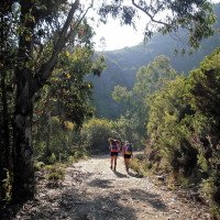
Wir nehmen die Straße links am Thermalbad vorbei in südlicher Richtung und pssieren nach etwa 600 m die Ruinen des alten römische Thermalbads. Bis hierher könnte man noch mit dem Auto fahren. Nach weiteren 800 m (ca.) kommen wir zur Brücke über "unseren" Bach "Corgo da Fecha do Carballon". Die Piste macht einen Schwenk nach rechts, dann biegen wir aber umgehend wieder auf den Weg in südlicher Richtung ab. \nEtwa 150 m nach der Brücke geht links ein Pfad ab in Richtung Cabanina do Curro. Er führt uns in gewissem Abstand zur Schlucht an deren orograf. linker Seite steil aufwärts. Bei Erreichen der Höhe (etwa 740 m üNN) sehen wir links unten den Beginn der Einschluchten des Rio Fecha liegen.\nDorthin steigen wir nun weglos ab. Wegeskizzen zu diesem Zustieg finden sich bei http://it.wikiloc.com/wikiloc/view.do?id=907134 sowie bei http://www.topocanyons.info/barrancos/barranco_de_fecha.php (bis zur Karte scrollen, dann am besten "Topografico" anklicken.
We take the road to the left past the thermal bath in southern direction and after about 600 m we pass the ruins of the old Roman thermal bath. Up to here one could still drive by car. After another 800 m (approx.) we come to the bridge over "our" stream "Corgo da Fecha do Carballon". The track makes a turn to the right, but then we immediately turn back to the path in southern direction. \nAbout 150 m after the bridge, a path branches off to the left in the direction of Cabanina do Curro. It leads us at a certain distance from the canyon on its orographic left side steeply uphill. When we reach the height (about 740 m above sea level) we see the beginning of the gorges of the Rio Fecha on the left side below.\nTo this we now descend pathless. Sketches of this access can be found at http://it.wikiloc.com/wikiloc/view.do?id=907134 and at http://www.topocanyons.info/barrancos/barranco_de_fecha.php (scroll down to the map, then click on "Topografico").
Tour (4 h):
machine translated
➜
Original language
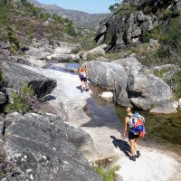
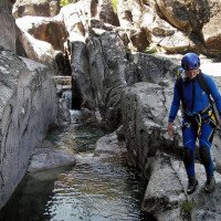
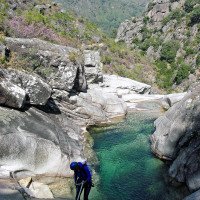
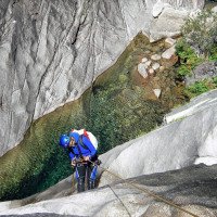
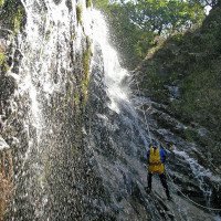
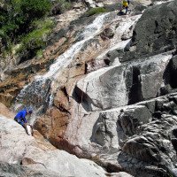
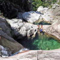
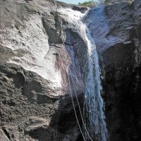
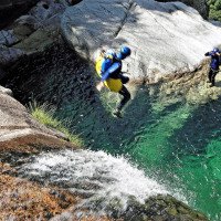
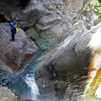
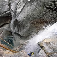
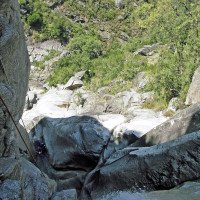
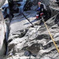
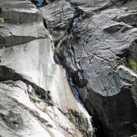
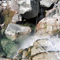
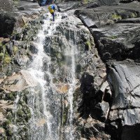
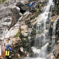
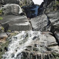
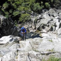
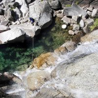
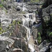
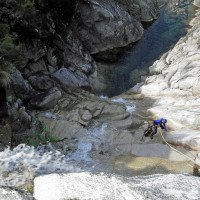
Etwa 12 Abseiler, die meist in schönen und tiefen Gumpen enden. Neben dem Sprung direkt am Einstieg gibt es weitere Sprungmöglichkeiten.
About 12 rappels, most of which end in beautiful and deep pools. Besides the jump directly at the entry, there are other possible jumps.
Return (20 min):
machine translated
➜
Original language
Wo der Bach verflacht, links hinaus auf die Anmarschpiste und auf dieser zuerst über die Brücke und weiter zum Auto.
Where the stream flattens out, turn left onto the approach road and follow it first over the bridge and further to the car.
Coordinates:
Canyon Start
Canyon End
Alternative Canyon End
(descente_2)
Parking Entry and Exit
(descente_3)
Waypoint
depart du sentier vers le-haut (descente)
Waypoint
sortir du sentier qui monte vers le canyon (descente)
Literatures:
Map
1:50000
Map
1:25000
Canyoning Book
Richard Redondas / Carlos Ares
2021
978-84-09-30104-1
Beschreibungen von 68 Canyons in Galizien (Nordwestspanien) und Nordportugal
Cwiki Canyon Info
Descente Canyon Info
Ropewiki Canyon Info
Other Canyon Info
23.08.2024
Marosffy Dániel
⭐
★★★★★
📖
★★★
⚓
★★★
💧
Low
Completed ✔
If only there was no the way up... Heat, struggle and horseflies. But the canyon is a beauty, and - unlike the ones in the close Portugal - continuous, no walking section between the cascades. Some cool jumps are also possible.
09.03.2023
System User
⭐
★★★★★
📖
★★★
⚓
★★★
no translation available
Info: Teile der Canyonbeschreibung wurden automatisiert übernommen. Konkret die Felder Weblinks, Koordinaten, Rating, Länge des Canyon, Einfachseil Mindestens von https://www.descente-canyon.com/canyoning/canyon/21558
09.03.2023
System User
⭐
★★★★★
📖
★★★
⚓
★★★
no translation available
Daten importiert von https://canyon.carto.net/cwiki/bin/view/Canyons/FechaCanyon.html
New Report
Please briefly and concisely the most important information of the last tour or important current information about the canyon. If necessary with links to videos, photos, etc..
*
*
*
Esc
Del
Hydrology:

