not as difficult
Fago
v3 a3 III
3h20
5min
3h
15min
860m
680m
180m
20m
2x25m
5
2500m
Car optional
Rating:
★★★★★
4 (3)
Info:
★★★
3 (1)
Belay:
★★★
3 (1)
Summary:
machine translated
➜
Original language
Ästhetische Schlucht, schon ab Frühjahr trocken; mit fließenden Wasser Spitze (am besten Mai).
Aesthetic canyon, dry already from spring; with flow. Water tip (best May/June).
Water level: http://canyoning.pirineos-pyrenees.eu/barranco/1
South
Summary:
machine translated
➜
Original language
Ästhetische Schlucht, schon ab Frühjahr trocken; mit fließenden Wasser Spitze (am besten Mai).
Aesthetic canyon, dry already from spring; with flow. Water tip (best May/June).
Water level: http://canyoning.pirineos-pyrenees.eu/barranco/1
Access:
machine translated
➜
Original language
Wir kommen von Jaca auf der N-240 und fahren westwärts überPuente La Reina de Jaca und vorbei an Berdun in Richtung Pamplona. Nach 33,3 km (ab Jaca) und 300m vor Beginn des neuen (2015) Autobahnabschnitts der A-21 biegen wir rechts ab auf die Straße, die nordwärts in Richtung Villareal de la Canal, Majones und Fago führt. Wir fahren immer am Fluss entlang und kommen nach 14,3 km (ab N-240) zu einer von rechts unten kommenden Piste (unser Ausstiegsweg). Hier stellen wir das untere Auto ab. Der Platz liegt an der Straße, die unmittelbar vorher ein markantes Eck in westlicher Richtung ausgefahren hat und nunmehr anzusteigen beginnt. Kommt man aus der Gegenrichtung (von der Ortschaft Fago her), so findet man diese Stelle 4,6 km südlich von Fago (von der Brücke über den Bach am südlichen Ortsausgabg gerechnet).
Mit dem zweiten Auto fahren wir hoch über der Schlucht weiter nach Norden und erreichen nach 1,8 km (ab unterem Parkplatz) eine Brücke über den von der Ortschaft Fago kommenden Bach. Unmittelbar nach der Brücke ist ein großer Parkplatz, wo wir unser Auto für den Einstieg abstellen. Dieser Parkplatz liegt 2,8 km südlich der Ortschaft Fago (von der Brücke am südlichen Ortsende gerechnet).
We come from Jaca on the N-240 and drive westward viaPuente La Reina de Jaca and past Berdun in the direction of Pamplona. After 33.3 km (from Jaca) and 300m before the start of the new (2015) section of the A-21 freeway, we turn right onto the road that heads north towards Villareal de la Canal, Majones and Fago. We always drive along the river and after 14.3 km (from N-240) we come to a dirt road coming from the lower right (our exit path). Here we park the lower car. The place is located on the road, which immediately before has driven out a prominent corner in western direction and now begins to rise. If you come from the opposite direction (from the village of Fago), you will find this place 4.6 km south of Fago (counting from the bridge over the creek at the southern exit of the village).\n\nWith the second car we continue north high above the canyon and after 1.8 km (from the lower parking lot) we reach a bridge over the creek coming from the village of Fago. Immediately after the bridge is a large parking lot where we park our car for the entry. This parking lot is located 2.8 km south of the village of Fago (counting from the bridge at the southern end of the village).
Approach (5 min):
machine translated
➜
Original language
Nach kurzer Gehstrecke Einstieg.
After a short run entry.
Tour (3 h):
machine translated
➜
Original language
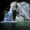
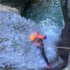
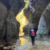
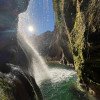
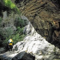
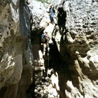
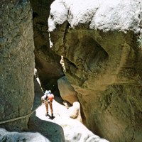
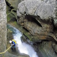
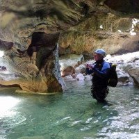
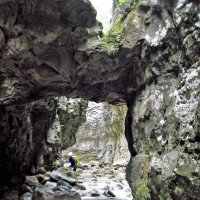
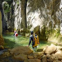
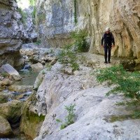
Zunächst ebenes Geläuf ohne Einschluchtung, Sprungmöglichkeiten. Dann Einschluchtung. Eindrucksvoller Siphon. Ca. 3 m Tauchstrecke in bisheriger Bachrichtung mit einem Touch nach links, dahinter dunkel), andernfalls auch auf auf einer "Kettenferrata" umgehbar. Naturbrücken. Mit einen schönen 12m Wasserfall in ein großes Becken endet die Engklamm, danach gehen und Abklettern mit weiteren kleinen Sprungmöglichkeiten. Wir treffen schließlich auf einen quer zum Bachlauf stehenden Felsriegegel mit parallel geschichteten Platten. Danach erfolgt bei einem größeren Steinmännchen der Ausstieg nach rechts.
First flat terrain without gorge, possible jumps. Then gorge.impressive siphon. Approx. 3 m diving section in the previous stream direction with a touch to the left, dark behind), on a "Ferrata" the siphon can be bypassed. Natural bridges. Running tracks. We finally meet a rock bar across the stream with parallel layered slabs. Here, at a larger cairn, the exit is to the right.
Return (15 min):
machine translated
➜
Original language
Wir nehmen den hier anzutreffenden Weg, der zunächst parallel zum Bach, später in weitem Bogen zur Straße und dem Abstellplatz für das untere Auto hinaufzieht.
We take the path found here, which first runs parallel to the stream, later in a wide curve up to the road and the parking area for the lower car.
Coordinates:
Canyon Start
Canyon End
Parking at Entry
(descente_3)
Parking at Exit
(descente_4)
Literatures:
Map
1:50000
Map
Canyoning Book
Roger Büdeler / Gabriele Flitner
Rother
1997
3-7633-3014-3
88 Abstiege in den Pyrenäen und der Sierra de Guara
Canyoning Book
Stéphane Coté / Caracal et les Sancho Panza
2007
124 Canyon-Beschreibungen
Canyoning Book
José A. Ortega - Miguel A. Cebrián
DESNIVEL
2006
84-9829-034-1
50 Canyon-Beschreibungen
Canyoning Book
Eduardo Gómez - Laura Tejero
Barrabes
2002
Canyoning Book
Fernando Biarge / Ana Biarge
1996
Canyoning Book
Patrick Gimat / Jean Paul Pontroué
Edisud
1995
2-85744-812-0
Abstiege mit Topo-Zeichnung
Canyoning Book
Luis Mariano Mateos Marcos
1992
Canyoning Book
Fernando Biarge / Enrique Salamero
1991
Canyoning Book
Canyoning Book
Luis Mariano Mateos Marcos
Elkar
1992
Topo qui couvre les canyons de l'océan au Mont Perdu, côté Espagnol et Français (Alava, Pays Basque, Navarre, Béarn, Ossau, Jacetania, Mont Perdu)
Cwiki Canyon Info
Descente Canyon Info
Ropewiki Canyon Info
Gallery
Video
Other Canyon Info
Other Canyon Info
Other Canyon Info
23.02.2025
Sebouale
⭐
★★★★★
📖
★★★
⚓
★★★
💧
Normal
Completed ✔
no translation available
Automatisch importiert von Descente-Canyon.com für Canyon Fago
Équipement OK, les sauts passent , très beau et personne!Échelle entre jaune et orange
(Quelle: https://www.descente-canyon.com/canyoning/canyon-debit/21498/observations.html)
23.06.2024
chesneau
⭐
★★★★★
📖
★★★
⚓
★★★
💧
Normal
Completed ✔
no translation available
Automatisch importiert von Descente-Canyon.com für Canyon Fago
Toujours aussi beau
(Quelle: https://www.descente-canyon.com/canyoning/canyon-debit/21498/observations.html)
01.06.2024
Charlyvan
⭐
★★★★★
📖
★★★
⚓
★★★
💧
Normal
Completed ✔
no translation available
Automatisch importiert von Descente-Canyon.com für Canyon Fago
(Quelle: https://www.descente-canyon.com/canyoning/canyon-debit/21498/observations.html)
12.05.2024
Morgane
⭐
★★★★★
📖
★★★
⚓
★★★
💧
Normal
Completed ✔
no translation available
Automatisch importiert von Descente-Canyon.com für Canyon Fago
(Quelle: https://www.descente-canyon.com/canyoning/canyon-debit/21498/observations.html)
05.05.2024
Luc_azimut
⭐
★★★★★
📖
★★★
⚓
★★★
💧
Normal
Completed ✔
no translation available
Automatisch importiert von Descente-Canyon.com für Canyon Fago
(Quelle: https://www.descente-canyon.com/canyoning/canyon-debit/21498/observations.html)
23.03.2024
gebu2
⭐
★★★★★
📖
★★★
⚓
★★★
💧
Normal
Completed ✔
no translation available
Automatisch importiert von Descente-Canyon.com für Canyon Fago
DC+, second canyon for the day, a very nice trip with great narrows, clear water and fun rappels and jumps.
(Quelle: https://www.descente-canyon.com/canyoning/canyon-debit/21498/observations.html)
23.03.2024
Rok
⭐
★★★★★
📖
★★★
⚓
★★★
💧
High
Completed ✔
machine translated
➜
Original language
Aktuell großartiger Wasserstand. Alle Stände tip top. Locker mit 1 Auto machbar, wenn man motiviert ist zum hochlaufen (ca. 20 Min. joggen). Alle Sprünge machbar. Siphon muss oberhalb umgangen werden und ist mit Ketten gesichert. Ein kleines Juwel, wenn Wasser durchläuft.
Currently great water level. All stands tip top. Easily doable with 1 car, if you are motivated to run up (about 20 minutes jogging). All jumps doable. Siphon must be bypassed above and is secured with chains. A little gem when water runs through.
25.11.2023
Yan09
⭐
★★★★★
📖
★★★
⚓
★★★
💧
Normal
Completed ✔
no translation available
Automatisch importiert von Descente-Canyon.com für Canyon Fago
Supers conditions, le siphon est sous l'eau et des embacles y sont présents. 1er rappel et tout le reste se saute, en sachant viser
(Quelle: https://www.descente-canyon.com/canyoning/canyon-debit/21498/observations.html)
09.03.2023
System User
⭐
★★★★★
📖
★★★
⚓
★★★
no translation available
Info: Teile der Canyonbeschreibung wurden automatisiert übernommen. Konkret die Felder Weblinks, Koordinaten, Rating, Länge des Canyon, Einfachseil Mindestens von https://www.descente-canyon.com/canyoning/canyon/21498
09.03.2023
System User
⭐
★★★★★
📖
★★★
⚓
★★★
no translation available
Daten importiert von https://canyon.carto.net/cwiki/bin/view/Canyons/FagoCanyon.html
New Report
Please briefly and concisely the most important information of the last tour or important current information about the canyon. If necessary with links to videos, photos, etc..
*
*
*
Esc
Del
Hydrology:
no translation available
Pegel: http://canyoning.pirineos-pyrenees.eu/barranco/1
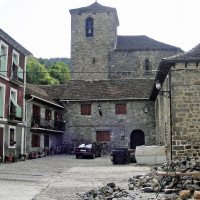
1 die Ortschaft Fago
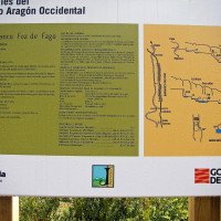
2
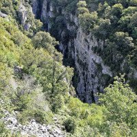
3 bei der Umsetzung Blick...
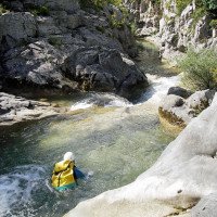
4 Bade- und Sprung-Becken...
5
6 jetzt geht's los
7
8 derselbe Abseiler wie vo...
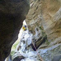
9 nächster Abseiler
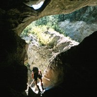
10 dito, von unten
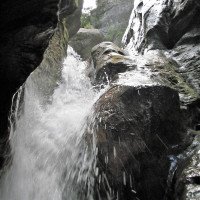
11 dito, mit Wasserdurchsa...
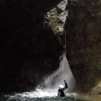
12 dito
13
14
15
16
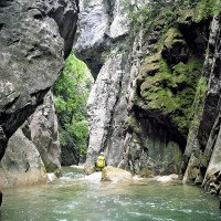
17
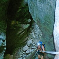
18 Abseiler ohne Wasser
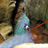
19 mit Wasser
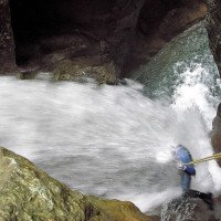
20 mit ordentlich Wasser
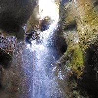
21 von unten mit Wasser
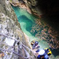
22 vor dem Siphon, Umgehun...
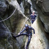
23 dito
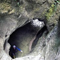
24 Blick in den Siphonauss...
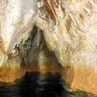
25 Siphon von der anderen...
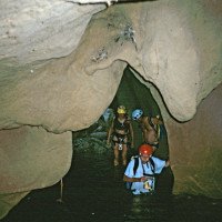
26 dito, ohne Wasserdurchs...
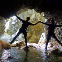
27 Siphonausgang
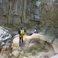
28
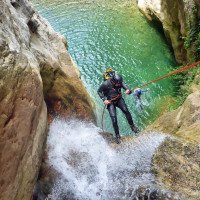
29 letzter Abseiler
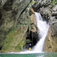
30 dito, mit ordentlich Wa...
