not as difficult
Upper Buckskin Gulch
v3 a2 IV
4h20
10min
4h
10min
1580m
1500m
80m
0
9000m
Car optional
Rating:
★★★★★
2.9 (1)
Info:
★★★
0 ()
Belay:
★★★
0 ()
Summary:
machine translated
➜
Original language
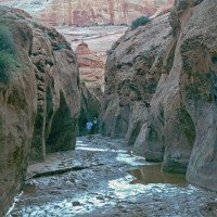
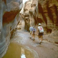
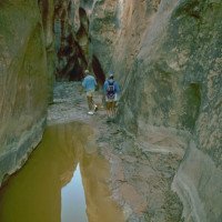
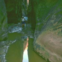
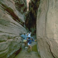
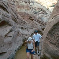
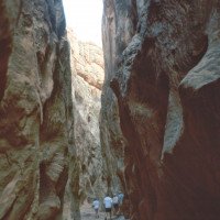
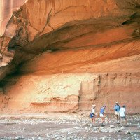
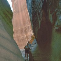
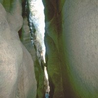
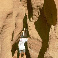
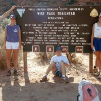
Wandercanyon - erster Abschnitt. Wir sind über den Wire Pass Trailhead ausgestiegen. Alternativ kann man auch im Paria Canyon weiter absteigen.
Hiking canyon - first part. We got out via the Wire Pass trailhead.
Southwest
Summary:
machine translated
➜
Original language
Wandercanyon - erster Abschnitt. Wir sind über den Wire Pass Trailhead ausgestiegen. Alternativ kann man auch im Paria Canyon weiter absteigen.
Hiking canyon - first part. We got out via the Wire Pass trailhead.
Access:
no translation available
aus Richtung Page: https://www.google.com/maps/dir/36.925949,-111.4721786/Upper+Bukskin+Gulch+Trailhead,+K6007,+Utah+84741,+Vereinigte+Staaten/@37.0325202,-111.8149618,12.04z/am=t/data=!4m9!4m8!1m0!1m5!1m1!1s0x8734fb34827d2cb5:0xe2186aaa988ed582!2m2!1d-112.0005037!2d37.0667517!3e0?entry=ttu
Approach (10 min):
no translation available
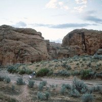
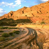
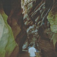
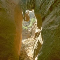
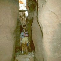
Wir wandern in dem hier noch offenen Tal abwärts bis zum Beginn der Einschluchtung.
Tour (4 h):
no translation available
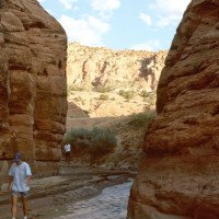
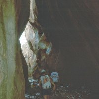
In der Einschluchtung abwärts bis zur Einmündung der Seitenschlucht Coyote Wash, die von Westen in den Buckskin Gulch einmündet. Nun in dieser Seitenschlucht - Wire PassTrail - hinauf zum Wire Pass Trailhead an der Piste
Return (10 min):
machine translated
➜
Original language
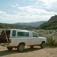
Mit dem Auto oder zu Fuß auf der Piste - Horse Rock Valley Road - zurück zum Buckskin Gulch Trailhead.
Drive or walk on the dirt road back to the Buckskin Gulch Trailhead.
Coordinates:
Canyon Start
37.0579°, -111.9911°
↓↑
DMS: 37° 3" 28.44', -112° 0" 32.04'
DM: 37° 3.474", -112° 0.534"
Google Maps
DMS: 37° 3" 28.44', -112° 0" 32.04'
DM: 37° 3.474", -112° 0.534"
Google Maps
Canyon End
37.01902°, -112.02437°
↓↑
DMS: 37° 1" 8.47', -113° 58" 32.27'
DM: 37° 1.141", -113° 58.538"
Google Maps
DMS: 37° 1" 8.47', -113° 58" 32.27'
DM: 37° 1.141", -113° 58.538"
Google Maps
Parking at Entry
37.0671°, -112.0007°
↓↑
DMS: 37° 4" 1.56', -113° 59" 57.48'
DM: 37° 4.026", -113° 59.958"
Google Maps
DMS: 37° 4" 1.56', -113° 59" 57.48'
DM: 37° 4.026", -113° 59.958"
Google Maps
Parking at Exit
37.0194°, -112.0251°
↓↑
DMS: 37° 1" 9.84', -113° 58" 29.64'
DM: 37° 1.164", -113° 58.494"
Google Maps
DMS: 37° 1" 9.84', -113° 58" 29.64'
DM: 37° 1.164", -113° 58.494"
Google Maps
Waypoint
37.01995°, -112.00282°
↓↑
DMS: 37° 1" 11.82', -113° 59" 49.85'
DM: 37° 1.197", -113° 59.831"
Google Maps
DMS: 37° 1" 11.82', -113° 59" 49.85'
DM: 37° 1.197", -113° 59.831"
Google Maps
Abbiegen in den Coyote Wash
Literatures:
Canyoning Book
USGS - Pine Hollow Canyon - 7.5
Cwiki Canyon Info
Ropewiki Canyon Info
Ropewiki Canyon Info
Gallery
Other Canyon Info
Other Canyon Info
Other Canyon Info
Other Canyon Info
09.03.2023
System User
⭐
★★★★★
📖
★★★
⚓
★★★
no translation available
Daten importiert von https://canyon.carto.net/cwiki/bin/view/Canyons/BuckskinGulchCanyon.html
Hydrology:
no translation available
In der Regel kein Wasserdurchsatz, aber wie auch die anderen Canyons in dieser Region flash flood anfällig
