difficile
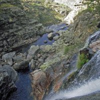
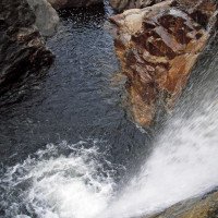
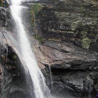
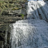
Fisgas do Ermelo
Pays:
Portugal
Région: Região Norte / Norte Region
Sous-régione: Vila Real
Ville: Mondim de Basto, Ermelo
v4 a5 IV
6h50
40min
5h30
40min
675m
340m
335m
48m
2x60m
11
2300m
à pied
Spécialités:
§ Interdiction
§ Interdiction
Évaluation:
★★★★★
3.7 (2)
Info:
★★★
0 ()
Belay:
★★★
0 ()
Résumé:
traduction alternative
➜
Langue originale
Aquatischer Abseilcanyon, im oberen Bereich offen.
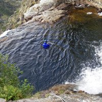
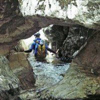
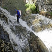
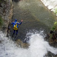
Aquatic rappel canyon, open at the top.
Sud-Ovest
Résumé:
traduction alternative
➜
Langue originale
Aquatischer Abseilcanyon, im oberen Bereich offen.
Aquatic rappel canyon, open at the top.
Accès:
traduction alternative
➜
Langue originale
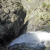
Von Vila Real ca. 10 km auf der E 82 in Richtung Porto, dann re. ab auf die N304 in Richtung Ermelo. Nach 20km (ab Abzweigung) und gerade unterhalb Ermelo vorbei erreicht man die Straßenbrücke über dem Rio Olo (330 m ü.NN). Nach der Brücke rechts hinauf , dem Wegweiser Fisgas do Ermelo folgend. Sofern man über 2 Fahrzeuge verfügt, stellt man das erste 1 km nach der Abzweigung bei der Brücke bei einer re. abgehenden Piste (beidseitig Steinpfosten) ab (440 m ü.NN).Mit dem anderen Fahrzeug geht es weiter hinauf, bei der Kapelle am Sattel dann ganz re. und bis zum Belvedere am Ende der Straße (3,1 km ab Stellplatz unteres Fahrzeug, 600 m ü.NN). Hier 2. Fahrzeug abstellen und einen Blick auf die Wasserfälle werfen, die aber hier nur zu einem geringen Teil sichtbar sind.
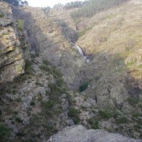
From Vila Real approx. 10 km on the E 82 in the direction of Porto, then right onto the N304 in the direction of Ermelo. After 20km (from the turnoff) and passing just below Ermelo, you will reach the road bridge over the Rio Olo (330m above sea level). After the bridge, turn right and follow the signs for Fisgas do Ermelo. If you have 2 vehicles, park the first one 1 km after the junction at the bridge at a track on the right (stone posts on both sides) (440 m a.s.l.).With the other vehicle, continue uphill, at the chapel at the saddle then on the far right and up to the Belvedere at the end of the road (3.1 km from the lower vehicle parking, 600 m a.s.l.). Here park 2nd vehicle and take a look at the waterfalls, but they are visible here only to a small extent.
Approche (40 min):
traduction alternative
➜
Langue originale
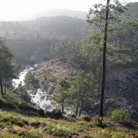
Vom Belvdere auf der mit Schranke gesperrten Piste in weitem Bogen hinauf bis auf 740 m ü.NN, dann jenseits 65 Höhenmeter hinunter zum Bach
From Belvdere on the road closed with barrier in a wide curve up to 740 m above sea level, then beyond 65 meters of altitude down to the stream.
Tour (5 h 30):
traduction alternative
➜
Langue originale
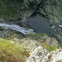
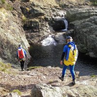
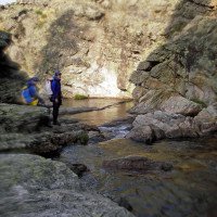
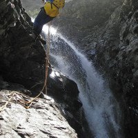
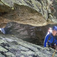
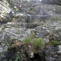
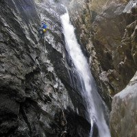
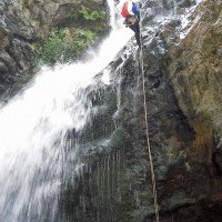
Es handelt sich um eine attraktive, wenn auch relativ lange und ernsthafte Tour, die gewisse Schwierigkeiten durch unzureichende Sicherungen erzeugt. Dass beim ersten 6-m-Abfall kein Haken ist, erscheint im Hinblick darauf, dass der Canyon in einem Nationalpark liegt, verständlich, auch wenn ein ausdrückliches Verbot nicht wahrnehmbar ist (2007). So etwa nach dem dritten hohen Abseiler verschwindet das Wasser in einer langgezogenen Felsspalte. Hier fand sich beim ersten Suchen nur ein Haken mit dünner Reepschnur, der nicht ohne Seilsicherung erreichbar gewesen wäre; zudem hätte er den Abseilenden direkt in die enge Spalte mit starkem Wasserdurchsatz gezwungen. Erst bei eingehendem Suchen nach einer Alternative fand sich etwa 10 m weiter rechts etwas versteckt eine Bandschlinge, die ein Abseilen auf ein Band ermöglichte, über das man die enge Rinne oben umgehen konnte.
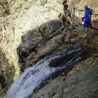
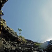
It is an attractive tour, although relatively long and serious, which generates certain difficulties due to insufficient belays. The fact that there is no anchor at the first 6 m drop seems understandable in view of the fact that the canyon is located in a national park, even if an explicit prohibition is not perceptible (2007). So about after the third high rappel, the water disappears in a long rock crevice. Here, during the first search, only an anchor with a thin rope was found, which could not have been reached without a rope belay; moreover, it would have forced the rappeler directly into the narrow crevice with a strong water flow. Only after a thorough search for an alternative was a tape loop found about 10 m further to the right, somewhat hidden, which made it possible to rappel onto a tape that could be used to bypass the narrow chute at the top.
Retour (40 min):
traduction alternative
➜
Langue originale
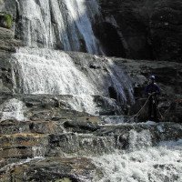
Nach dem letzten 5-m-Abfall ist re. hinauf ein Knotenseil gespannt. Da am oberen Ende jedoch keine Spur erkennbar und der unbekannte Weg in steilem Gelände zu riskant erschien, haben wir es vorgezogen, eine weitere Stunde im Bachbett abwärts zu laufen, bis bei einer Aufweitung des Flussbettes sich ein Ausstieg anbot. Spuren führten hier steil aufwärts, doch es schien besser zu sein, über einen kleinen Seitenbach auf ein benachbartes Wiesengrundstück mit Obstbäumen und Hütte und von dort auf einen 30 m oberhalb verlaufenden Feldweg zu kommen. Dieser führt - anfangs ist ein Gatter zu umklettern - mit geringen Höhenschwankungen insgesamt 100 Höhenmeter aufwärts - hinaus auf die Teerstraße beim unten abgestellten Fahrzeug.
After the last 5 m drop, a knotted rope is stretched up the right side. However, since no tracks were recognizable at the upper end and the unknown path seemed too risky in steep terrain, we preferred to walk downhill in the streambed for another hour until an exit presented itself at a widening of the streambed. Tracks led steeply uphill here, but it seemed better to cross a small side stream to a neighboring meadow with fruit trees and a hut, and from there to a dirt road 30 meters above. This leads - at the beginning a gate is to be climbed around - with small height fluctuations altogether 100 elevator meters upward - out on the tarred road with the vehicle parked below.
Coordonnées:
Départ du Canyon
Fin du Canyon
Parking à l'entrée
bellevue (descente)
Parking à la sortie
(descente_3)
Littérature:
Carte
1:25000
Carte
1:25000
Livre Canyoning
Richard Redondas / Carlos Ares
2021
978-84-09-30104-1
Beschreibungen von 68 Canyons in Galizien (Nordwestspanien) und Nordportugal
Livre Canyoning
Francesco Silva, Mario Silva, Christina Garrido, Maria Celú Almeida, Tiago Lopez
Edições Desnivel Aventura
2023
97898998 18026
78 Beschreibungen von Canyons in Continental Portugal, Madeira und Azoren
Info canyon Cwiki
Info canyon Descente
Info canyon Ropewiki
Autre info canyon
Autre info canyon
09.03.2023
System User
⭐
★★★★★
📖
★★★
⚓
★★★
pas de traduction disponible
Info: Teile der Canyonbeschreibung wurden automatisiert übernommen. Konkret die Felder Weblinks, Koordinaten, Rating, Länge des Canyon, Einfachseil Mindestens von https://www.descente-canyon.com/canyoning/canyon/21209
09.03.2023
System User
⭐
★★★★★
📖
★★★
⚓
★★★
pas de traduction disponible
Daten importiert von https://canyon.carto.net/cwiki/bin/view/Canyons/FisgasdoErmeloCanyon.html
Nouveau rapport
Veuillez décrire brièvement et de manière concise les informations les plus importantes de la dernière visite ou les informations actuelles importantes sur le canyon. Si nécessaire avec des liens vers des vidéos, photos, etc.
*
*
*
Esc
Del
Hydrologie:
