un peu difficile
Fontaine Fayard
v4 a3 III
4h50
1h
3h
50min
1150m
900m
250m
40m
2x40m
16
700m
à pied
Évaluation:
★★★★★
1.9 (2)
Info:
★★★
0 ()
Belay:
★★★
0 ()
Résumé:
traduction alternative
➜
Langue originale
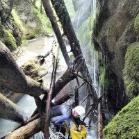
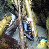
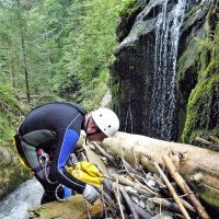
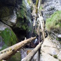
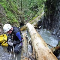
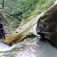
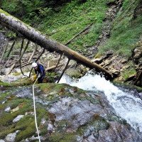
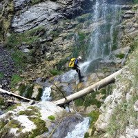
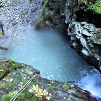
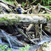
Waldgraben mit viel Holz
Forest canyon with a lot of wood
Est
Résumé:
traduction alternative
➜
Langue originale
Waldgraben mit viel Holz
Forest canyon with a lot of wood
Accès:
traduction alternative
➜
Langue originale
Von Annecy auf der N 508 am Südwestufer des gleichnamigen Sees entlang über Duingt bis zum Südende des Sees bei Bout-du-Lac (17 km von Annecy). 2 km weiter (also nach 19 km ab Annecy zweigt links die D 909 in nördlicher Richtung ab, um am Ostufer des Sees nach Talloires zu führen.\nWir biegen aber genau in entgegengesetzter Richtung nach Süden ab und fahren immer an dem Flüsschen Ire entlang östlich an der Ortschaft Doussard, später östlich (unterhalb) des Weilers Chevaline vorbei in die Combe (= Schlucht) d'Ire hinein. Auf dem großen Parkplatz vor der Schranke Auto abstellen (ca. 6 km ab N 508).
From Annecy on the N 508 along the southwest shore of the lake of the same name via Duingt to the south end of the lake at Bout-du-Lac (17 km from Annecy). 2 km further on (i.e. after 19 km from Annecy), the D 909 branches off to the left in a northerly direction to lead to Talloires on the eastern shore of the lake.\nBut we turn off in exactly the opposite direction to the south and always drive along the little river Ire to the east past the village of Doussard, later to the east (below) the hamlet of Chevaline into the Combe (= canyon) d'Ire. Park your car in the large parking lot in front of the barrier (approx. 6 km from N 508).
Approche (1 h):
traduction alternative
➜
Langue originale
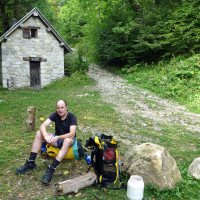
Wir gehen auf der Forststraße weiter, nicht die Kehre links hinauf, sondern am orograf. rechten Ufer der Ire entlang. Wir kreuzen die Ire und die Piste zieht nun steil bergauf. Wir kommen schließlich an ein Steingebäude (Refuge Fayard) mit einem Brunnen davor. Von hier gehen wir weglos ostwärts zum Bach und folgen diesem am linken Ufer abwärts, bis sich der Einstieg anbietet.
We continue on the forest road, not up the hairpin bend on the left, but along the orographic. right bank of the Ire. We cross the Ire and the track now goes steeply uphill. We finally reach a stone building (Refuge Fayard) with a well in front of it. From here we go eastwards to the stream and follow it downwards on the left bank until the entry presents itself.
Tour (3 h):
traduction alternative
➜
Langue originale
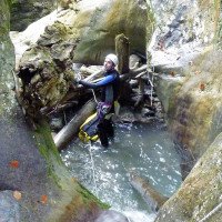
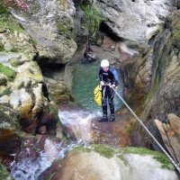
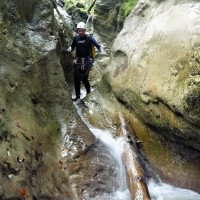
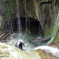
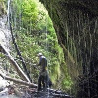
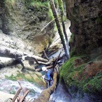
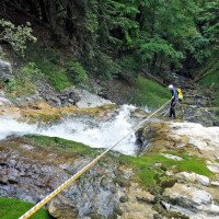
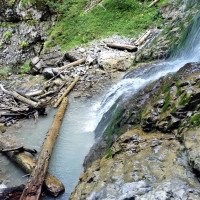
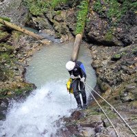
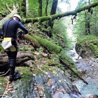
Waldgraben, vorwiegend für naturverbundene "Sammler", schlecht eingesichert, Wasser kalt, viel Holz (2009), nach dem engeren Teil zu Beginn Notausstiege möglich.
Forest canyon, mainly for nature-loving "collectors", poorly secured, water cold, a lot of wood (2009), after the narrower part at the beginning emergency exits possible.
Retour (50 min):
traduction alternative
➜
Langue originale
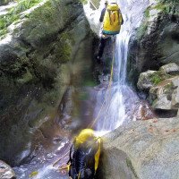
Nach den höheren Abseilern gegen Ende der Tour (28 m/13 m/40 m/15 m) läuft man im Bachbett weiter abwärts und überwindet noch 2 kleinere Stufen. Dann läuft von rechts ein Bächlein zu. Das ist die Ire. Im frz. Buch und der Internetfundstelle wird nun ein Ausstieg beschrieben, indem man die Ire ein Stück gegen die Flussrichtung aufwärts geht bis zu einem verfallenen Steg, um dort auf einen Pfad zu stoßen, der in östlicher Richtung hinaufführt zu einer Forststraße. Dieser abwärts folgend kommt man wieder zum geparkten Auto.
Alternativ bietet sich an, der Ire im Bachbett abwärts bis zur Brücke zu folgen. Dabei kann ein höherer Wasserfall am Rande abgeklettert werden.
Eine weitere Variante wäre beim abwärts Gehen das Verlassen der Ire an einem v-förmigen Einschnitt links hinauf auf einer relativ deutlichen Spur.
Man kommt dann auf eine freie Fläche (nach Holzeinschlag), folgt der Spur (Beginn am Nordostrand der Lichtung) hoch über der Ire nordwärts, bis man links oberhalb eine Piste sieht. Zu dieser hoch, führt sie zur Aufstiegspiste und auf dieser zurück zum Auto. Bei dieser letzten Variante braucht man etwas "feeling" für die Pfadfindung.
After the higher rappels towards the exit of the tour (28 m/13 m/40 m/15 m) you walk further down in the streambed and overcome 2 smaller steps. Then a little stream walks towards you from the right. This is the Ire. The French book and the internet site describe an exit by walking up the Ire against the direction of the river until you reach a ruined footbridge and a path that leads up to a forest road in eastern direction. Following this downhill, you come back to the parked car.\nAlternatively, it is possible to follow the Ire in the streambed downhill to the bridge. In doing so, a higher waterfall at the edge can be downclimbed.\nAnother variation while going downhill would be to leave the Ire at a v-shaped gulch up to the left on a relatively clear track.\nYou then come to an open area (after logging), follow the track (beginning at the northeast edge of the clearing) high above the Ire northward until you see a dirt road above on the left. Up to this, it leads to the ascent track and on this back to the car. In this last variant you need some "feeling" for the path finding.
Coordonnées:
Départ du Canyon
Fin du Canyon
Arrivée au collecteur (descente)
Parking à l'entrée et à la sortie
(descente_2)
Point de repère
Piste, départ de la marche d\'approche (descente)
Littérature:
Carte
IGN Top 25 Map 3432 OT, Massif des Bauges, 1:25 000
Livre Canyoning
Cascades, Gorges & Canyons; Pré-alpes d'Isère et de Savoie; Hauser/Baratin; 2007
Bertrand Hauser, Delphine Baratin
Eigenverlag
2007
978-2-9407-0-2529
45 Beschreibungen von Canyons in den Massiven von Bauges, Chartreuse u. Vercors
Info canyon Cwiki
Info canyon Descente
Info canyon Ropewiki
Info canyon FFME
23.04.2024
freecanyon
⭐
★★★★★
📖
★★★
⚓
★★★
💧
Normale
Terminé ✔
pas de traduction disponible
Automatisch importiert von Descente-Canyon.com für Canyon Fayards
Trop de sangles et de cordes dans les arbres pour les AN… à priori les gens ne savent pas faire de debrayable sur AN…
(Quelle: https://www.descente-canyon.com/canyoning/canyon-debit/21504/observations.html)
21.10.2023
Ben Oc Savoy
⭐
★★★★★
📖
★★★
⚓
★★★
💧
Haut
Terminé ✔
pas de traduction disponible
Automatisch importiert von Descente-Canyon.com für Canyon Fayards
(Quelle: https://www.descente-canyon.com/canyoning/canyon-debit/21504/observations.html)
09.03.2023
System User
⭐
★★★★★
📖
★★★
⚓
★★★
pas de traduction disponible
Info: Teile der Canyonbeschreibung wurden automatisiert übernommen. Konkret die Felder Weblinks, Koordinaten, Rating, Länge des Canyon, Einfachseil Mindestens von https://www.descente-canyon.com/canyoning/canyon/21504
09.03.2023
System User
⭐
★★★★★
📖
★★★
⚓
★★★
pas de traduction disponible
Daten importiert von https://canyon.carto.net/cwiki/bin/view/Canyons/FayardCanyon.html
Hydrologie:
