un peu difficile
Texeira
Pays:
Portugal
Région: Região do Centro / Centro region
Sous-régione: Viseu
Ville: Oliveira de Frades, Cercal
v4 a3 III
3h30
20min
2h40
30min
375m
215m
160m
35m
2x 40m
6
1600m
à pied
Évaluation:
★★★★★
2.6 (2)
Info:
★★★
0 ()
Belay:
★★★
0 ()
Résumé:
traduction alternative
➜
Langue originale
Offener Abseilcanyon mit Laufstrecken.
Open rappel canyon with running trails.
Ouest
Résumé:
traduction alternative
➜
Langue originale
Offener Abseilcanyon mit Laufstrecken.
Open rappel canyon with running trails.
Accès:
traduction alternative
➜
Langue originale
Von Porto auf der A 1/E 1 ca. 53 km südwärts. Auf der Höhe von Aveira ab auf die kreuzende A 25/IP 5/E 80 in (östlicher) Richtung Viseu. Etwa 20 km nach dem Abbiegen bei der Ausfahrt 9 von der Autobahn ab Richtung Sever de Vouga. Man quert wenig später den Rio Vouga und nimmt nach der Brücke die am Fluss entlangführende N16 in östlicher Richtung. Man durchfährt Paredes und fährt weiter am Fluss entlang auf der EM 569. 44 km nach Verlassen der Autobahn biegt man nun re. ab auf die N 227 und kommt nach Sao Jao da Serra. Beim zentralen Platz in der Ortschaft geht hinter der Kirche die Straße nach Cercal ab. Am Ortsende von Cercal folgt man dem Forstweg noch weitere 3 km, wobei hier möglichst kein Gegenverkehr erfolgen sollte. Wo der bislang eben verlaufende Forstweg beginnt, sich steil abzusenken, Auto abstellen.http://www.descente-canyon.com/canyoning/canyon/21603/Texeira.html
From Porto on the A 1/E 1 approx. 53 km southwards. At Aveira take the intersecting A 25/IP 5/E 80 in the direction of Viseu (east). About 20 km after the turn at exit 9, leave the highway in the direction of Sever de Vouga. A little later, cross the Rio Vouga and, after the bridge, take the N16 that runs along the river in an easterly direction. Pass through Paredes and continue along the river on the EM 569. 44 km after leaving the freeway, turn right onto the N 227 and enter Sao Jao da Serra. At the central square in the village, behind the church, the road to Cercal branches off. At the end of Cercal, follow the forest road for another 3 km, avoiding oncoming traffic if possible. Where the forest road, which was flat until now, begins to descend steeply, park the car.http://www.descente-canyon.com/canyoning/canyon/21603/Texeira.html
Approche (20 min):
traduction alternative
➜
Langue originale
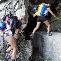
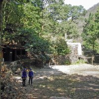
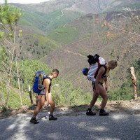
Vom Auto auf der Piste hoch oberhalb des Texeira eben dahin, einen Tunnel neben oder auf der betonierten Wasserfassung durchschreiten und dann li. hinunter zum Fluss.
From the car on the dirt road high above the Texeira level there, pass through a tunnel next to or on the concrete water intake and then left down to the river.
Tour (2 h 40):
traduction alternative
➜
Langue originale
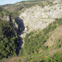
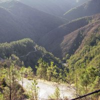
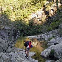
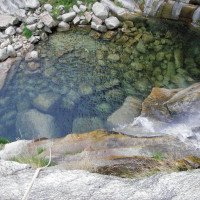
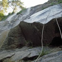
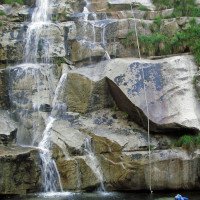
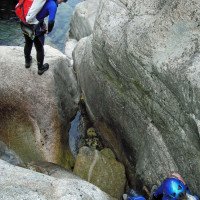
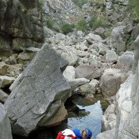
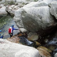
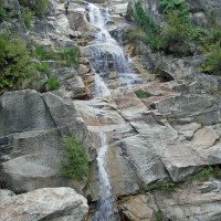
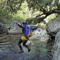
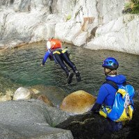
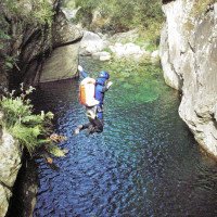
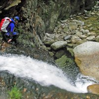
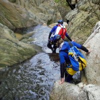
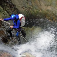
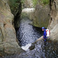
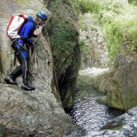
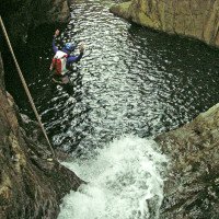
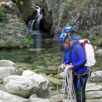
siehe Video und Fotos
inzwischen neue Stände mit neuen (max.) Abseillängen, siehe topos
see video and photos
meanwhile new stands with new (max.) rappel lengths, see topos
Retour (30 min):
traduction alternative
➜
Langue originale
Beim E-Werk li. hinauf auf die Straße und auf ihr hinauf zum Auto.Es wäre bequemer, schon vorher (kurz nach der Engstelle) bei dem Haus auszusteigen, aber das geht nur mit Einverständnis der Besitzer, da für den Weg nach oben zur Straße ein Tor aufgeschlossen werden muss (bei uns hatte eine höfliche Anfrage Erfolg).
It would be more convenient to get out of the car at the house before (shortly after the bottleneck), but this is only possible with the consent of the owners, since a gate must be unlocked for the way up to the street (in our case a polite request was successful).
Coordonnées:
Départ du Canyon
Fin du Canyon
Fin alternative du canyon
proprietée privée, demander á depasser (descente)
Parking à l'entrée et à la sortie
(descente_2)
Littérature:
Carte
1:25000
Livre Canyoning
Francesco Silva, Mario Silva, Christina Garrido, Maria Celú Almeida, Tiago Lopez
Edições Desnivel Aventura
2023
97898998 18026
78 Beschreibungen von Canyons in Continental Portugal, Madeira und Azoren
Info canyon Cwiki
Info canyon Descente
Info canyon Ropewiki
Autre info canyon
Autre info canyon
Autre info canyon
09.03.2023
System User
⭐
★★★★★
📖
★★★
⚓
★★★
pas de traduction disponible
Info: Teile der Canyonbeschreibung wurden automatisiert übernommen. Konkret die Felder Weblinks, Koordinaten, Rating, Länge des Canyon, Einfachseil Mindestens von https://www.descente-canyon.com/canyoning/canyon/21603
09.03.2023
System User
⭐
★★★★★
📖
★★★
⚓
★★★
pas de traduction disponible
Daten importiert von https://canyon.carto.net/cwiki/bin/view/Canyons/TexeiraCanyon.html
Nouveau rapport
Veuillez décrire brièvement et de manière concise les informations les plus importantes de la dernière visite ou les informations actuelles importantes sur le canyon. Si nécessaire avec des liens vers des vidéos, photos, etc.
*
*
*
Esc
Del
Hydrologie:
