Pays:
Deutschland / Germany
Région: Oberbayern / Upper Bavaria
Sous-régione: Landkreis Bad Tölz-Wolfratshausen
Ville: Fall
v4 a2 III
2h50
45min
1h40
25min
1140m
760m
380m
45m
2x50m
20
1600m
à pied
Spécialités:
§ Interdiction
§ Interdiction
Évaluation:
★★★★★
2.2 (2)
Info:
★★★
0 ()
Belay:
★★★
0 ()
Résumé:
traduction alternative
➜
Langue originale
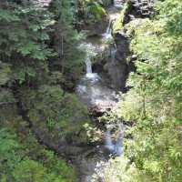
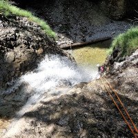
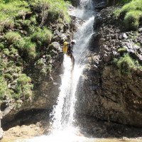
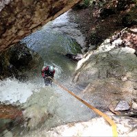
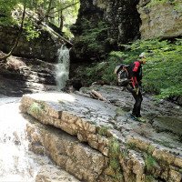
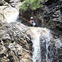
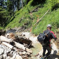
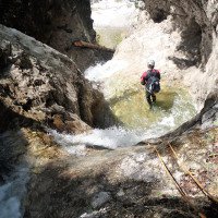
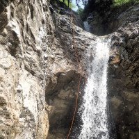
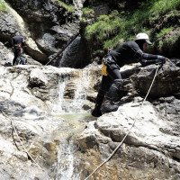
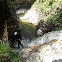
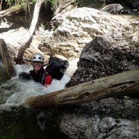
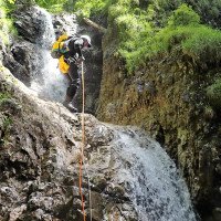
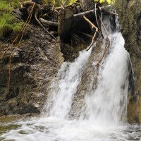
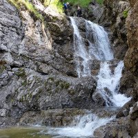
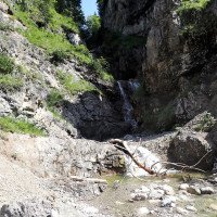
Nach Nordwesten ausgerichteter und gestufter Waldgraben, hier Abschnitt II+III von III
Northwest-oriented and stepped forest canyon, here parts II+III of III
Nord-Ouest
Résumé:
traduction alternative
➜
Langue originale
Nach Nordwesten ausgerichteter und gestufter Waldgraben, hier Abschnitt II+III von III
Northwest-oriented and stepped forest canyon, here parts II+III of III
Accès:
traduction alternative
➜
Langue originale
Von Bad Tölz kommend fahren wir auf der B 13, vorbei an Lenggries, zum Sylvensteinspeicher (21,5 km). Auf der Dammkrone angekommen halten wir rechts auf der B 307 in Richtung Fall, Vorderriß. 2,3 km weiter - und 200 m vor der Abzweigung in die Ortschaft Fall - biegen wir links ab (2. Abzweigung) in die Dürrachstraße. Auf dem Wanderparkplatz vor dem Fahrverbotsschild stellen wir unser Auto ab.
Coming from Bad Tölz we drive on the B 13, past Lenggries, to the Sylvenstein reservoir (21.5 km). Arrived at the top of the dam, we keep right on the B 307 in the direction of Fall, Vorderriß. 2.3 km further on - and 200 m before the turnoff into the village of Fall - we turn left (2nd turnoff) into Dürrachstraße. We park our car on the parking lot for hikers in front of the no-driving sign.
Approche (45 min):
traduction alternative
➜
Langue originale
Wir gehen die Teerstraße 1,4 km weiter in südlicher Richtung - Bächental. Wir queren dann die tief unter uns dahinplätschernde Dürrach. Wenige Meter weiter kommen wir zu einer Verzweigung und nehmen hier die Abzweigung nach links (Wegweiser "Walchenklamm"). Wieder 750 m weiter stehen wir auf der Brücke über den Schürpfengraben. Hier lässt sich gut der Wasserdurchsatz beurteilen. 120 m nach der Brücke nehmen wir den Weg rechts hinauf. Es schließt sich ein Steig an.
Bei der 3. Linkskehre (875 m üNN) geht wiederum ein Pfad rechts ab, der uns hinunter in's Bachbett an den Beginn des III. Abschnitts führt (Länge 750m, Einstiegshöhe 875m,Zahl Abseiler 10, höchster Abseiler 21, empfohlene Seile 2x30m, v3,a2,II)
Zum Einstieg in den II. Abschnitt steigen wir bei der 3. Linkskehre weiter bergan. Bei der isgesamt 11. Linksserpentine und einer längeren "Geraden" biegen wir vom Pfad rechts ab und steigen links haltend ab in's Bachbett zum Start in Abschnitt II. Einstiegshöhe 980m. Siehe auch Karte!
Eine weitere Zustiegsmöglichkeit besteht in 1170m Höhe (Siehe Karte). Der Abstieg Bis zum Einstieg zum Abschnitt II ist jedoch vom Verf. nicht verifiziert.
We continue along the tarred road for 1.4 km in a southerly direction - Bächental. We then cross the deep below us rippling Dürrach. A few meters further on we come to a fork and take the fork to the left here (signpost "Walchenklamm"). Again 750 m further on we stand on the bridge over the Schürpfengraben. Here we can easily judge the water flow. 120 m after the bridge we take the path up to the right. A path follows.
At the 3rd leftward haipin bend (875 m a.s.l.) again a path turns off to the right, which leads us down into the streambed to the beginning of the III. part (length 750m, entry height 875m,number of rappels 10, highest rappel 21, recommended ropes 2x30m, v3,a2,II)
For the entry to the II. At the 3rd leftward haipin bend we climb further uphill. At the 10th left turn we turn right and descend keeping left into the streambed to the start of part II.
Tour (1 h 40):
traduction alternative
➜
Langue originale
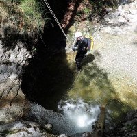
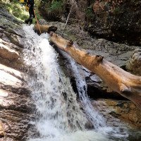
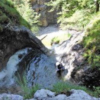
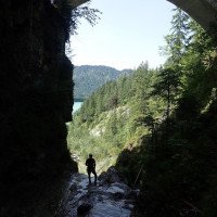
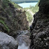
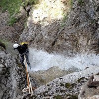
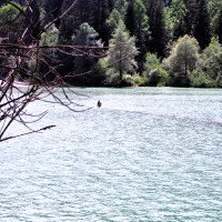
Stufenweiser Abstieg, vereinzelt auch Rutsch- und Sprung-Möglichkeit. Dann der Abseiler unter der Brücke. Anschließend im offenen Kiesbett bis zum Stausee hinauslaufen.
Descent in steps, occasional slides and jumps. Then the rappel under the bridge. Then walk out in the open gravel bed to the reservoir.
Retour (25 min):
traduction alternative
➜
Langue originale
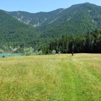
Am Seeufer links, bis man an das westseitige Ufer hinüberwaten kann. Dann auf die Piste der Kiestransporter und beim Linksknick der Piste geradeaus weiter den seenahen Waldweg. Am Ende des Waldwegs links den Pfad, der die Böschung steil hinauf zur Teerstraße führt. Dort nach wenigen Metern zum Parkplatz.
At the lake shore turn left until you can wade over to the west shore. Then onto the gravel truck track and at the left bend of the track straight ahead along the forest path near the lake. At the exit of the forest path turn left onto the path that leads steeply up the slope to the tarred road. There after a few meters to the parking lot.
Coordonnées:
Sortie intermédiaire du canyon
47.559844°, 11.552564°
↓↑
DMS: 47° 33" 35.44', 11° 33" 9.23'
DM: 47° 33.591", 11° 33.154"
Google Maps
DMS: 47° 33" 35.44', 11° 33" 9.23'
DM: 47° 33.591", 11° 33.154"
Google Maps
Ende Abschnitt II, Start Abschnitt III
Sortie intermédiaire du canyon
47.558694°, 11.557908°
↓↑
DMS: 47° 33" 31.3', 11° 33" 28.47'
DM: 47° 33.522", 11° 33.474"
Google Maps
DMS: 47° 33" 31.3', 11° 33" 28.47'
DM: 47° 33.522", 11° 33.474"
Google Maps
Ende Abschnitt I, Start Abschnitt II
Départ du Canyon
47.558933°, 11.563217°
↓↑
DMS: 47° 33" 32.16', 11° 33" 47.58'
DM: 47° 33.536", 11° 33.793"
Google Maps
DMS: 47° 33" 32.16', 11° 33" 47.58'
DM: 47° 33.536", 11° 33.793"
Google Maps
Einstieg Abschnitt I
Fin du Canyon
Parking à l'entrée et à la sortie
Littérature:
Carte
Bayerisches Landesvermessungsamt, Blatt 8435 (1 : 25 000), Fall
Carte
http://geoportal.bayern.de/bayernatlas/?X=5269337.43&Y=4465703.00&zoom=12&lang=de&topic=ba&bgLayer=atkis&catalogNodes=122 (interaktive Karte)
Livre Canyoning
Canyoning in Bayern und Tirol (2. Auflage)
Werner Baumgarten
2013
Livre Canyoning
Canyoning in Bayern und Tirol
Werner Baumgarten
2010
Info canyon Cwiki
Info canyon Descente
Info canyon Ropewiki
09.03.2023
System User
⭐
★★★★★
📖
★★★
⚓
★★★
pas de traduction disponible
Info: Teile der Canyonbeschreibung wurden automatisiert übernommen. Konkret die Felder Weblinks, Koordinaten, Rating, Länge des Canyon, Einfachseil Mindestens von https://www.descente-canyon.com/canyoning/canyon/22388
09.03.2023
System User
⭐
★★★★★
📖
★★★
⚓
★★★
pas de traduction disponible
Daten importiert von https://canyon.carto.net/cwiki/bin/view/Canyons/SchuerpfengrabenCanyon.html
Hydrologie:

