moins difficile
Anellu
Pays:
France
Région: Corse / Corsica Island
Sous-régione: Corse-du-Sud / South Corsica
Ville: Aullène
v3 a3 II
15h40
30min
15h5
5min
1150m
995m
155m
22m
2x25m
7
0m
Voiture facultative
Évaluation:
★★★★★
2.4 (2)
Info:
★★★
0 ()
Belay:
★★★
0 ()
Résumé:
traduction alternative
➜
Langue originale
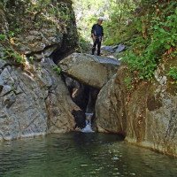
Abseilcanyon in unberührter Landschaft (Oberer Abschnitt Wandercanyon).
Rappel canyon in untouched scenic (Upper part hiking canyon).
Ouest
Granit
Résumé:
traduction alternative
➜
Langue originale
Abseilcanyon in unberührter Landschaft (Oberer Abschnitt Wandercanyon).
Rappel canyon in untouched scenic (Upper part hiking canyon).
Accès:
traduction alternative
➜
Langue originale
Von Zicavo auf der D 69 über den Col de la Vaccia südlich bis zur Straßenbrücke über den Chiuvone. Etwa 2,5 km weiter kommt man dann zur Straßenbrücke über den Anellu (GPS: N 41° 48,692' E 9° 6.176'). Nach der Brücke links Platz zum Abstellen des Autos.
From Zicavo on the D 69 over the Col de la Vaccia south to the road bridge over the Chiuvone. About 2.5 km further on you will come to the road bridge over the Anellu (GPS: N 41° 48.692' E 9° 6.176'). After the bridge on the left place to park the car.
Approche (30 min):
traduction alternative
➜
Langue originale
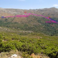
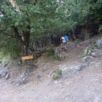
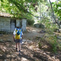
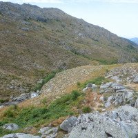
Von der Brücke etwa 50 m auf der Straße zurück (Richtung Norden), dann dem Wegweiser 'Rocher Oscillante' (Wackelstein) folgen und rechts in den Wald hinauf (orange Markierungen). Nach etwa einer halben Stunde, davon die meiste Zeit im schattigen Wald, erreicht man einen Punkt, der den Blick auf das felsige Bachbett des Anellu eröffnet. Hier kann man direkt oberhalb des vertikalen Abschnitts einsteigen, wenn man sich den oberen wenig interessanten Teil schenken will.Falls man disen auch begehen will, dem Pfad weiter aufwärts folgen. Man trifft dann auf den von links kommenden Pfad (Von der Bergeries de Niellu).Auf diesem Pfad kommt man hoch, wenn man der Beschreibung im Buch von Jourdan/Fiorina folgt. Auf dem nun gemeinsamen Pfad etwa 10 Min. weiter leicht bergauf. Dann hält man sich rechts an der Hangkante, wo man das Bachbett des oberen Anellu sehen kann. An geeigneter Stelle dort hinab absteigen (Einstieg dort auf 125m üNN - zusätzliche 60 Min. im Bach).\nNachdem nun ein direkter Zustieg von der Brücke hinauf existiert, ist der im Buch von Jourdan/Fiorina beschriebene Zustieg nur noch ein unnötiger Umweg.
From the bridge, go back about 50 meters on the road (north), then follow the sign 'Rocher Oscillante' (Wobbly Stone) and go up on the right into the forest (orange markings). After about half an hour, most of it in the shaded forest, you reach a point that opens the view on the rocky streambed of the Anellu. Here you can enter just above the vertical part, if you don't want to go through the upper part, which is not very interesting, but if you want to go through it as well, follow the path upwards. If you want to follow the path upwards, you will meet the path coming from the left (From the Bergeries de Niellu), on which you will go up following the description in the book of Jourdan/Fiorina. Continue slightly uphill on the now common path for about 10 min. Then keep to the right on the edge of the slope, where you can see the streambed of the upper Anellu. At a suitable point descend there (entry there at 125m a.s.l. - additional 60 min. in the stream).\nNow that there is a direct access up from the bridge, the access described in the book of Jourdan/Fiorina is only an unnecessary detour.
Tour (15 h 5):
traduction alternative
➜
Langue originale
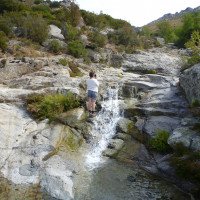
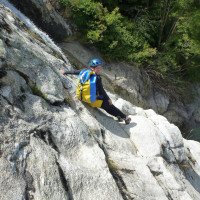
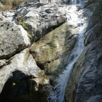
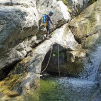
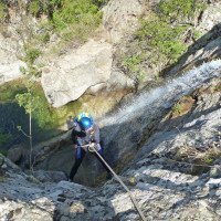
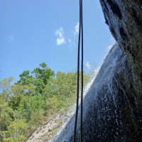
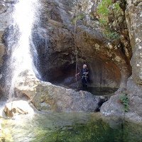
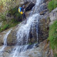
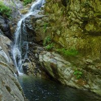
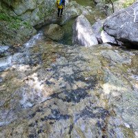
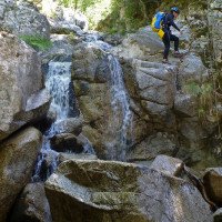
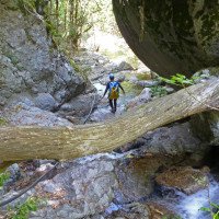
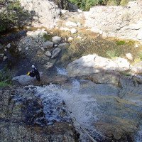
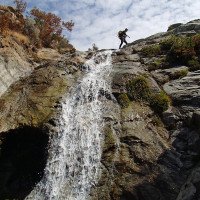
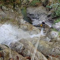
Der vertikale Teil ist nicht ohne Reiz und bietet auch im Hochsommer Wasserdurchsatz.
The vertical part is not without charm and provides water flow even in midsummer.
Retour (5 min):
traduction alternative
➜
Langue originale
Etwa 50 m vor der Brücke (links vorbei an großem Stein, schwarze Wasserleitungsreste - Kunststoff) nach dem flachen Gumpen (GPS: N 41° 48'40.92 E 9° 6'13.72) rechts hinaus auf einen Pfad, der zur Straßenbrücke führt.
About 50 m before the bridge (left past large stone, black water pipe remains - plastic) after the shallow pool (GPS: N 41° 48'40.92 E 9° 6'13.72) turn right out onto a path that leads to the road bridge.
Coordonnées:
Fin du Canyon
Départ du Canyon
depart 2 - au-dessus de verticales (1100m alt) (descente)
Départ alternatif du Canyon
depart 1 (descente)
Parking à l'entrée
Parking amont 1 : aller la piste au Bergeries de Niellu à pied (descente)
Parking à l'entrée
Parking amont 2 : suivre la piste jusqu\'à Bergeries de Niellu avec voiture (descente)
Parking à la sortie
(descente_2)
Point de repère
debut d\'approche ("rocher oscillante") (descente)
Point de repère
le sentier direct arrive le sentier de Bergeries de Niellu (descente)
Littérature:
Carte
1:25000
Livre Canyoning
Franck Jourdan / Jean-François Fiorina
2006
Info canyon Cwiki
Info canyon Descente
Info canyon Ropewiki
Info canyon FFME
Autre info canyon
05.08.2024
Taffon
⭐
★★★★★
📖
★★★
⚓
★★★
💧
Faible
Terminé ✔
pas de traduction disponible
Automatisch importiert von Descente-Canyon.com für Canyon Anellu
C'est pas les beaux canyon type Vacca et Purcaracha mais l'avantage c'est que c'est plus sauvage. L'équipement et bien. Prendre un clé de 17, certains points se déssertent.
(Quelle: https://www.descente-canyon.com/canyoning/canyon-debit/22183/observations.html)
27.07.2024
ipatati
⭐
★★★★★
📖
★★★
⚓
★★★
💧
Normale
Terminé ✔
pas de traduction disponible
Automatisch importiert von Descente-Canyon.com für Canyon Anellu
(Quelle: https://www.descente-canyon.com/canyoning/canyon-debit/22183/observations.html)
14.06.2024
POJ
⭐
★★★★★
📖
★★★
⚓
★★★
💧
Normale
Terminé ✔
pas de traduction disponible
Automatisch importiert von Descente-Canyon.com für Canyon Anellu
amarrages ok
(Quelle: https://www.descente-canyon.com/canyoning/canyon-debit/22183/observations.html)
14.06.2024
6Squal
⭐
★★★★★
📖
★★★
⚓
★★★
💧
Normale
Terminé ✔
pas de traduction disponible
Automatisch importiert von Descente-Canyon.com für Canyon Anellu
(Quelle: https://www.descente-canyon.com/canyoning/canyon-debit/22183/observations.html)
09.03.2023
System User
⭐
★★★★★
📖
★★★
⚓
★★★
pas de traduction disponible
Info: Teile der Canyonbeschreibung wurden automatisiert übernommen. Konkret die Felder Weblinks, Koordinaten, Rating, Länge des Canyon, Einfachseil Mindestens von https://www.descente-canyon.com/canyoning/canyon/22183
09.03.2023
System User
⭐
★★★★★
📖
★★★
⚓
★★★
pas de traduction disponible
Daten importiert von https://canyon.carto.net/cwiki/bin/view/Canyons/AnelluCanyon.html
Nouveau rapport
Veuillez décrire brièvement et de manière concise les informations les plus importantes de la dernière visite ou les informations actuelles importantes sur le canyon. Si nécessaire avec des liens vers des vidéos, photos, etc.
*
*
*
Esc
Del
Hydrologie:
