difficile
Wallbach
Pays:
Schweiz / Switzerland
Région: Kanton Bern / Canton de Berne
Sous-régione: Verwaltungskreis Obersimmental-Saanen / Obersimmental-Saanen administrative district
Ville: Lenk
v4 a5 III
3h45
40min
2h50
15min
1320m
1220m
100m
15m
1x30m
5
300m
à pied
Évaluation:
★★★★★
3 (1)
Info:
★★★
0 ()
Belay:
★★★
0 ()
Résumé:
traduction alternative
➜
Langue originale
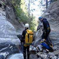
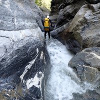
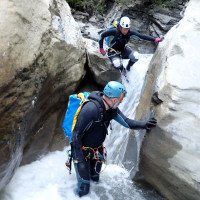
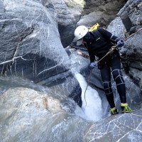
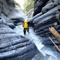
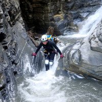
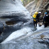
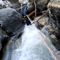
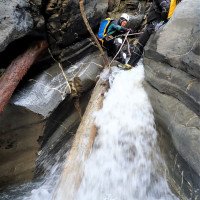
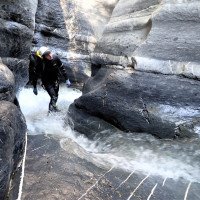
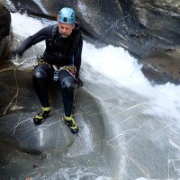
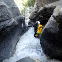
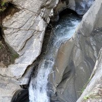
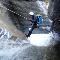
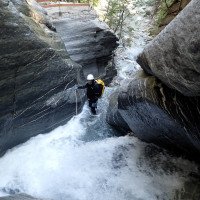
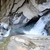
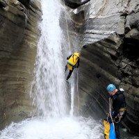
Kleingliedriger und kurzer Abseilcanyon mit Rutsch- und Sprung-Möglichkeiten. In aller Regel reichlich Wasserdurchsatz.
Small and short rappel canyon with slides and jumps. Generally abundant water flow.
Nord-Est
Résumé:
traduction alternative
➜
Langue originale
Kleingliedriger und kurzer Abseilcanyon mit Rutsch- und Sprung-Möglichkeiten. In aller Regel reichlich Wasserdurchsatz.
Small and short rappel canyon with slides and jumps. Generally abundant water flow.
Accès:
traduction alternative
➜
Langue originale
Wir verlassen die A6/A8 (Bern - Interlaken) am Thunersee über die Ausfahrt 18 (Lattigen) und fahren das Simmental aufwärts. Nach 34 km (ab Autobahnausfahrt) kommen wir nach Zweisimmen. Rechts führt die Straße weiter nach Gstaad; wir biegen jedoch links ab und fahren nach Lenk (13 km von Zweisimmen). In Lenk steuern wir den Parkplatz bei der Talstation der Waleggbahn an (siehe Anfahrt I u. II in Fotogalerie bei carto.net).
We leave the A6/A8 (Bern - Interlaken) at Lake Thun via exit 18 (Lattigen) and drive up the Simmental. After 34 km (from the freeway exit) we come to Zweisimmen. On the right, the road continues to Gstaad; however, we turn left and drive to Lenk (13 km from Zweisimmen). In Lenk we head for the parking lot at the valley station of the Waleggbahn (see approach I and II in the photo gallery).
Approche (40 min):
traduction alternative
➜
Langue originale
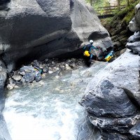
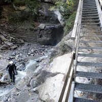
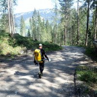
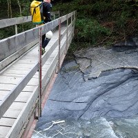
Von der Talstation der Bergbahn nehmen wir den Wanderweg Richtung Wallbachschlucht, der am Wallbach aufwärts führt. Nach einiger Zeit queren wir den Wallbach auf die orograf. linke Seite und gehen weiter mit Blick auf die Wasserfälle bachauf. Wir kommen zu einer Brücke, wo der Wanderweg wieder auf die andere Bachseite wechselt. Wir folgen den Weg bergauf, verlassen ihn jedoch an der zweiten Serpentine und klettern weglos zum Bach hinunter. Nun können wir entweder hier direkt einsteigen (E2) oder aber am orograf. linken Ufer auf undeutlichen Spuren weiter bachauf wandern und klettern. Hier bietet der Bach noch einige nette Sprung- und Rutsch-Möglichkeiten.
From the valley station of the cable car we take the hiking trail towards Wallbachschlucht, which leads upwards along the Wallbach. After some time we cross the Wallbach to the orographic left side and continue upstream with a view of the waterfalls. We come to a bridge where the trail changes again to the other side of the stream. We follow the path uphill, but leave it at the second serpentine and climb down to the stream without a path. Now we can either enter directly here (E2) or continue hiking and climbing up the creek on the orographic left bank on indistinct tracks. Here the stream offers some nice jumps and slides.
Tour (2 h 50):
traduction alternative
➜
Langue originale
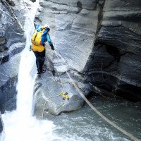
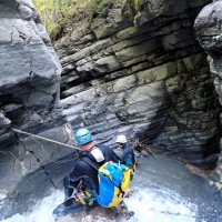
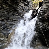
Nach unserem Start (E1) bachab zunächst also die erwähnten spielerischen Elemente, dann die Schlucht, die außer einigen Abseilern auch noch Rutsch- und Sprung-Möglichkeiten bietet. Wenn der letzte Abseiler "erledigt" ist und im Fortgang der Bach an Interesse verliert, steigen wir nach links auf den Wanderweg aus.
After our start (E1) downstream so first the mentioned playful elements, then the canyon, which offers besides some rappel also slides and jumps. When the last rappel is "done" and the stream loses interest as we proceed, we exit to the left onto the path.
Retour (15 min):
traduction alternative
➜
Langue originale
Den Wanderweg bergab, über die Brücke und zurück zum Parkplatz der Seilbahn.
Down the trail, over the bridge and back to the cable car parking lot.
Coordonnées:
Départ du Canyon
46.4537°, 7.41941°
↓↑
DMS: 46° 27" 13.32', 7° 25" 9.88'
DM: 46° 27.222", 7° 25.165"
Google Maps
Suisse Topographique
DMS: 46° 27" 13.32', 7° 25" 9.88'
DM: 46° 27.222", 7° 25.165"
Google Maps
Suisse Topographique
Fin du Canyon
46.4561°, 7.4234°
↓↑
DMS: 46° 27" 21.96', 7° 25" 24.24'
DM: 46° 27.366", 7° 25.404"
Google Maps
Suisse Topographique
DMS: 46° 27" 21.96', 7° 25" 24.24'
DM: 46° 27.366", 7° 25.404"
Google Maps
Suisse Topographique
Départ alternatif du Canyon
46.4549°, 7.42218°
↓↑
DMS: 46° 27" 17.64', 7° 25" 19.85'
DM: 46° 27.294", 7° 25.331"
Google Maps
Suisse Topographique
DMS: 46° 27" 17.64', 7° 25" 19.85'
DM: 46° 27.294", 7° 25.331"
Google Maps
Suisse Topographique
Entrée 2 : clue seulement (descente)
Parking à l'entrée et à la sortie
46.4585°, 7.43035°
↓↑
DMS: 46° 27" 30.6', 7° 25" 49.26'
DM: 46° 27.51", 7° 25.821"
Google Maps
Suisse Topographique
DMS: 46° 27" 30.6', 7° 25" 49.26'
DM: 46° 27.51", 7° 25.821"
Google Maps
Suisse Topographique
(descente_3)
Littérature:
Carte
CNS 1229, Grindelwald, 1:25 000
Livre Canyoning
Swiss Alps - Canyoning - Alpes Suisses
Emmanuel Belut / Laurence Boyé / Thomas Guigon
Association Openbach
2015
9782746679450
Info canyon Cwiki
Info canyon Descente
Info canyon Ropewiki
Info canyon Schlucht.ch
09.03.2023
System User
⭐
★★★★★
📖
★★★
⚓
★★★
pas de traduction disponible
Info: Teile der Canyonbeschreibung wurden automatisiert übernommen. Konkret die Felder Weblinks, Koordinaten, Rating, Länge des Canyon, Einfachseil Mindestens von https://www.descente-canyon.com/canyoning/canyon/23543
09.03.2023
System User
⭐
★★★★★
📖
★★★
⚓
★★★
pas de traduction disponible
Daten importiert von https://canyon.carto.net/cwiki/bin/view/Canyons/WallbachCanyon.html
Hydrologie:

