v2 a2 I
3h
15min
2h
45min
190m
110m
80m
5m
1x20m
2
650m
à pied
Évaluation:
★★★★★
0.7 (1)
Info:
★★★
0 ()
Belay:
★★★
0 ()
Résumé:
traduction alternative
➜
Langue originale
Badewanderung
Bathing hike
Sud-Ovest
Résumé:
traduction alternative
➜
Langue originale
Badewanderung
Bathing hike
Accès:
traduction alternative
➜
Langue originale
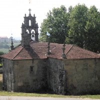
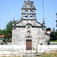
Von Pontevedra an der Autobahn Santiago de Compostela-Vigo etwa 5 km auf der N 541 in Richtung Ourense bis Puente Bora mit der Brücke über den Rio Almofrey. An der Kreuzung nach der Brücke rechts ab und auf der PO 233 in Richtung Xesteira. Nach 7 km nach der Kreuzung geht rechts ein Sträßlein ab, das uns nach Fontenova und weiter nach Almofrey bringt. An der Kirche Auto abstellen, da zwar bis zum Einstieg gefahren werden könnte, dort aber an sonnigen Sommertagen kaum ein freier Platz zum Parken zu finden ist.
From Pontevedra on the highway Santiago de Compostela-Vigo about 5 km on the N 541 direction Ourense until Puente Bora with the bridge over the Rio Almofrey. At the crossroads after the bridge, turn right and take the PO 233 towards Xesteira. After 7 km, after the crossroads, there is a small road on the right that takes us to Fontenova and then to Almofrey. At the church park car, because although you could drive to the entry, but there is hardly a free place to park on sunny summer days.
Approche (15 min):
traduction alternative
➜
Langue originale
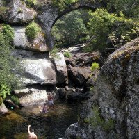
Von der Kirche in Almofrey geht es in südöstlicher Richtung bergauf, vorbei an einer Villa, deren Besitzer einen Bach in seinen Garten geleitet hat. Nach 400 m kommt man auf der nach der Kuppe leicht abfallenden Straße an die mittelalterliche Brücke über den Almofrei. Nach der Brücke geht es rechts hinunter zum Wasser. Entweder man steigt hier ein oder man wandert linkerhand ca. 100 m an bzw in einem Kanal weiter, überwindet einen Zaun und steigt wenig später auf deutlichen Spuren hinab zum Bach.
From the church in Almofrey, head uphill in a southeasterly direction, past a villa whose owner has a stream piped into his garden. After 400 m, on the road that slopes slightly after the crest, you come to the medieval bridge over the Almofrei. After the bridge, turn right and go down to the water. Either you get on here or you continue hiking on the left for about 100 m along or in a canal, overcome a fence and a little later descend on clear tracks to the stream.
Tour (2 h):
traduction alternative
➜
Langue originale
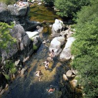
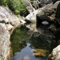
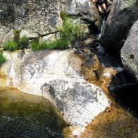
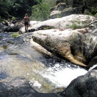
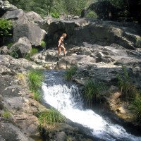
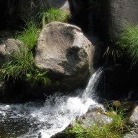
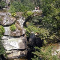
Nette Bachwanderung über gewachsenen Fels, die manchmal etwas Kletterei verlangt (nicht bei viel Wasser angehen); zu Beginn viele Badegäste; umkehren, wo das Bachbett geröllig wird. 2 fakultative Abseiler. Siehe Fotos u. Video.
Nice river walk over mature rock that requires some climbing at times (don't tackle when there's a lot of water); lots of bathers at the beginning; turn back where the streambed gets rough.
Retour (45 min):
traduction alternative
➜
Langue originale
Gleicher Weg zurück
Same way back
Coordonnées:
Départ du Canyon
Fin du Canyon
Parking à l'entrée et à la sortie
bei der Kirche
Littérature:
Carte
IGN MTN50 185 (4-10) Pontevedra 1:50.000
Carte
IGN MTN50 186 (5-10) Ponte Caldelas 1:50.000
Info canyon Cwiki
Info canyon Ropewiki
09.03.2023
System User
⭐
★★★★★
📖
★★★
⚓
★★★
pas de traduction disponible
Daten importiert von https://canyon.carto.net/cwiki/bin/view/Canyons/AlmofreyCanyon.html
Hydrologie:
