moins difficile
Karitsas
Pays:
Ελλάδα / Greece
Sous-régione: Περιφερειακή Ενότητα Ευρυτανίας / Evritania Regional Unit
Ville: Karitsa
v3 a3 III
1h40
10min
1h20
10min
830m
550m
280m
26m
2x30m
13
1200m
Voiture obligatoire
Évaluation:
★★★★★
2.9 (1)
Info:
★★★
0 ()
Belay:
★★★
0 ()
Résumé:
pas de traduction disponible
Abseilcanyon
Ouest
Résumé:
pas de traduction disponible
Abseilcanyon
Accès:
traduction alternative
➜
Langue originale
Von Karpenisi in südwestlicher Richtung auf der Straße nach Prousos. So weit müssen wir jedoch nicht fahren. Nach etwa 16 km sehen wir rechts der Straße ein Haus und links der Straße Verkaufsstände und eine Lichtung. Hier stellen wir das erste Auto ab. Etwa 2 km weiter biegen wir dann links ab nach Karitsa. Wir queren den Fluss (prüfen dessen Wasserstand, da wir nach dem Canyon diesen erneut und ohne Brücke queren müssen) und fahren bergauf. Nach gut 2 km kommen wir zu einer Straßenverzweigung. Hier fahren wir nicht rechts hinauf zur Kirche (wie im Buch von George Andreou beschrieben), sondern links. Bei den ersten Häusern stellen wir das zweite Fahrzeug ab.
From Karpenisi in southwestern direction on the road to Prousos. However, we do not have to go that far. After about 16 km we see a house on the right side of the road and on the left side of the road stalls and a clearing. Here we park the first car. About 2 km further on we turn left to Karitsa. We cross the river (check its water level, because after the canyon we have to cross it again and without a bridge) and drive uphill. After about 2 km we come to a road junction. Here we do not go right up to the church (as described in George Andreou's book), but left. At the first houses we park the second vehicle.
Approche (10 min):
traduction alternative
➜
Langue originale
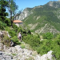
Nach den ersten Häusern auf der linken Seite und einer Satellitenschüssel auf einem Eisenrohr (2010) führt ein zunächst als solcher nicht erkennbarer Pfad über einige Betonstufen abwärts und dann in nördlicher Richtung über eine Wiese auf eine Hangkante zu. Hier spätestens nehmen wir die Spur wieder auf, gehen der Hangkante entlang in östlicher Richtung, queren in den anschließenden Hang leicht abwärts haltend hinein und folgen der Spur bis zum Bachbett hinunter.Dieser vom Verf. vom Bachbett nach oben erkundete Zustieg spart etwa 20 Min. Zustieg und 30 Min. Hatscherei im Bachbett abwärts (entsprechend der Zustiegsbeschreibung im Buch von George Andreou); bei diesem Zustieg ist man in kürzester Zeit am ersten Abseiler. Die Gesamtlänge der Tour in Metern verkürzt sich um etwa die Hälfte.
Wer Wanderungen neben oder im Bachbett gerne hat oder sich die hier beschriebene Wegfindung nicht zutraut, nimmt den im Buch von George Andreou beschriebenen Zustieg, der bei der Kirche seinen Ausgangspunkt hat.
After the first houses on the left and a satellite dish on an iron pipe (2010), a path that is initially not recognizable as such leads downhill over some concrete steps and then in a northerly direction across a meadow towards a slope edge. Here, at the latest, we take up the track again, walk along the edge of the slope in an easterly direction, cross into the following slope keeping slightly downward and follow the track down to the streambed.This access explored by the author from the streambed upward saves about 20 min. access and 30 min. rappel in the streambed downward (according to the access description in the book by George Andreou); with this access one is at the first rappel in the shortest time. The total length of the tour in meters is shortened by about half.
If you like hiking next to or in the streambed, or if you don't trust yourself to find the way described here, take the access described in George Andreou's book, which has its starting point at the church.
Tour (1 h 20):
traduction alternative
➜
Langue originale
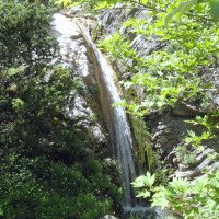
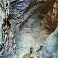
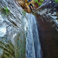
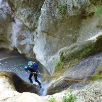
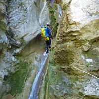
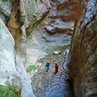
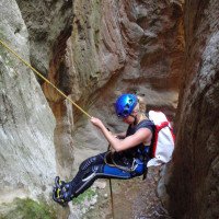
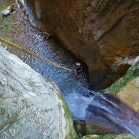
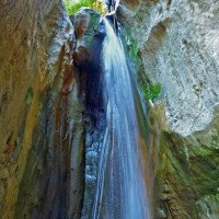
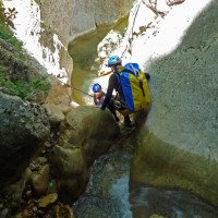
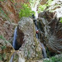
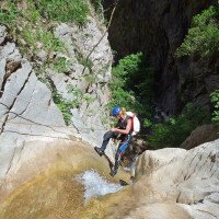
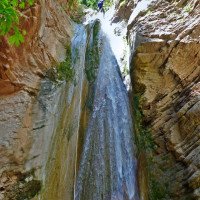
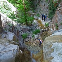
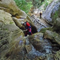
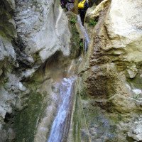
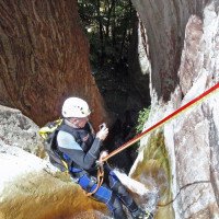
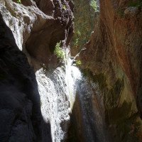
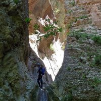
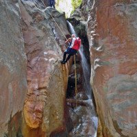
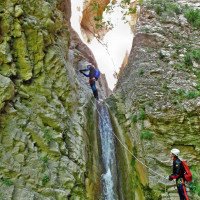
Abfolge schöner Abseiler (insgesamt 9).
Sequence of beautiful rappel (9 in total).
Retour (10 min):
traduction alternative
➜
Langue originale
Nach dem letzten Abseiler durch den lichten Wald zum Karpenisiotis Potamos (Fluß), diesen an geeigneter Stelle queren und weiter zur Straße bei den Verkaufsständen.
After the last rappel through the sparse forest to the Karpenisiotis Potamos (river), cross it at a suitable point and continue to the road by the stalls.
Coordonnées:
Départ du Canyon
Fin du Canyon
Parking à la sortie
38.805572°, 21.719862°
↓↑
DMS: 38° 48" 20.06', 21° 43" 11.5'
DM: 38° 48.334", 21° 43.192"
Google Maps
DMS: 38° 48" 20.06', 21° 43" 11.5'
DM: 38° 48.334", 21° 43.192"
Google Maps
Parking à l'entrée
38.801595°, 21.722658°
↓↑
DMS: 38° 48" 5.74', 21° 43" 21.57'
DM: 38° 48.096", 21° 43.359"
Google Maps
DMS: 38° 48" 5.74', 21° 43" 21.57'
DM: 38° 48.096", 21° 43.359"
Google Maps
für den unteren Einstieg
Parking à l'entrée
38.803281°, 21.723876°
↓↑
DMS: 38° 48" 11.81', 21° 43" 25.95'
DM: 38° 48.197", 21° 43.433"
Google Maps
DMS: 38° 48" 11.81', 21° 43" 25.95'
DM: 38° 48.197", 21° 43.433"
Google Maps
für den oberen Einstieg gemäß Buch von George Andreou
Littérature:
Carte
13 Karpensi Proussos - 1/50000
Livre Canyoning
50 Canyons in Central Greece
George Andreou
Anavasi
2007
978-9609300209
Carte
Anavasi [2.3], Central Greece. Giona Oeta Vardousia, 1/50000
Info canyon Cwiki
Info canyon Descente
Info canyon Ropewiki
Vidéo
09.03.2023
System User
⭐
★★★★★
📖
★★★
⚓
★★★
pas de traduction disponible
Daten importiert von https://canyon.carto.net/cwiki/bin/view/Canyons/KaritsasCanyon.html
Hydrologie:
