v4 a3 III
2h38
3min
2h30
5min
1450m
1250m
200m
40m
2x40m
0m
Voiture obligatoire
Évaluation:
★★★★★
2.3 (2)
Info:
★★★
0 ()
Belay:
★★★
0 ()
Résumé:
traduction alternative
➜
Langue originale
Abseilcanyon
rappel canyon
Résumé:
traduction alternative
➜
Langue originale
Abseilcanyon
rappel canyon
Accès:
traduction alternative
➜
Langue originale
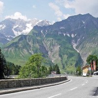
Von Bregenz über Alberschwende, Mellau, Au, Schoppenau nach Schröcken. Nach dem ersten Tunnel fährt man scharf links. Dort ist Platz, wo man das Auto abstellen kann.\nMit einem zweiten Fahrzeug weiter in Richtung Warth. Nachdem man den Seebach mehrmals überquert hat, kommt nach auf der linken Seite ein Hotel mit einem Canyoninganbieter (Strolz Aktiv; Haus Strolz - Nesslegg 94)). Hier kann man nach vorheriger Anfrage das obere Auto abstellen.
From Bregenz via Alberschwende, Mellau, Au, Schoppenau to Schröcken. After the first tunnel, take a sharp left. There is space where you can park the car.\nContinue with a second vehicle in the direction of Warth. After you have crossed the Seebach several times, you will come to a hotel with a canyoning provider (Strolz Aktiv; Haus Strolz - Nesslegg 94)) on the left side. Here you can park the upper car after prior request.
Approche (3 min):
traduction alternative
➜
Langue originale
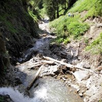
Vom Parkplatz ca. 50 m bachaufwärts am Bach entlang zur Brücke. Hier ist der Einstieg.
From the parking lot about 50 m upstream along the stream to the bridge. Here is the entry.
Tour (2 h 30):
traduction alternative
➜
Langue originale
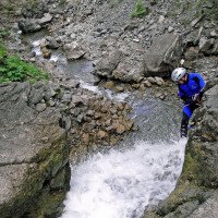
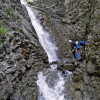
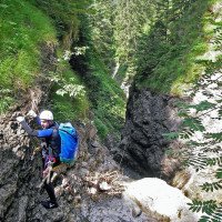
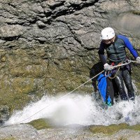
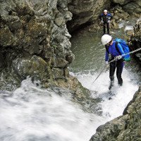
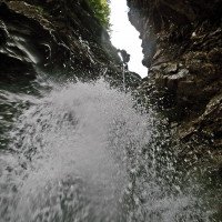
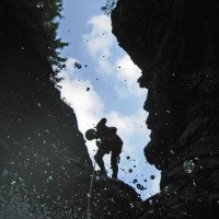
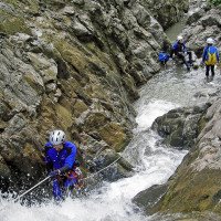
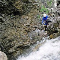
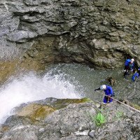
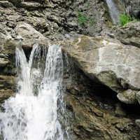
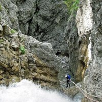
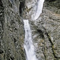
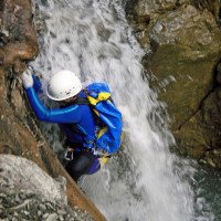
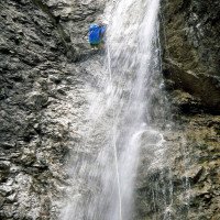
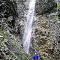
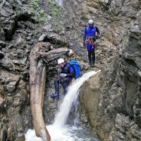
Zuerst Bachlatscher, dann Abseiler mit zunehmender Höhe. Kernstelle ist der letzte Wasserfall von 40 m Höhe, der bei viel Wasser evtl. ausgelassen werden sollte, da ein Durchqueren des Strahls nicht zu vermeiden ist. Notausstieg orografisch links vor dem Schlusswasserfall.
First Bachlatscher, then rappel with increasing height. The core point is the last waterfall of 40 m height, which should possibly be skipped when there is a lot of water, as crossing the ray is unavoidable. Emergency exit orographic left before the final waterfall.
Retour (5 min):
traduction alternative
➜
Langue originale
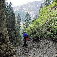
Nach dem 40-m-Wasserfall bachab , rechts hinaus zur Brücke und dann wieder rechts zum Auto.
After the 40 m waterfall downstream , right out to the bridge and then right again to the car.
Coordonnées:
Départ du Canyon
47.2625°, 10.1049°
↓↑
DMS: 47° 15" 45', 10° 6" 17.64'
DM: 47° 15.75", 10° 6.294"
Google Maps
Autriche Topographique
DMS: 47° 15" 45', 10° 6" 17.64'
DM: 47° 15.75", 10° 6.294"
Google Maps
Autriche Topographique
Fin du Canyon
47.2593°, 10.0977°
↓↑
DMS: 47° 15" 33.48', 10° 5" 51.72'
DM: 47° 15.558", 10° 5.862"
Google Maps
Autriche Topographique
DMS: 47° 15" 33.48', 10° 5" 51.72'
DM: 47° 15.558", 10° 5.862"
Google Maps
Autriche Topographique
Parking à l'entrée
47.2627°, 10.1048°
↓↑
DMS: 47° 15" 45.72', 10° 6" 17.28'
DM: 47° 15.762", 10° 6.288"
Google Maps
Autriche Topographique
DMS: 47° 15" 45.72', 10° 6" 17.28'
DM: 47° 15.762", 10° 6.288"
Google Maps
Autriche Topographique
(descente_3)
Parking à la sortie
47.2595°, 10.0961°
↓↑
DMS: 47° 15" 34.2', 10° 5" 45.96'
DM: 47° 15.57", 10° 5.766"
Google Maps
Autriche Topographique
DMS: 47° 15" 34.2', 10° 5" 45.96'
DM: 47° 15.57", 10° 5.766"
Google Maps
Autriche Topographique
(descente_4)
Littérature:
Carte
Freytag & Berndt WK 364, Bregenzerwald, 1:50 000
Carte
Kompass WK 2, Bregenzerwald, 1:50 000
Carte
http://alpregio.outdooractive.com/ar-warth/de/alpregio.jsp#tab=ToursTab (interakt. K.)
Info canyon Cwiki
Info canyon Descente
Info canyon Ropewiki
09.03.2023
System User
⭐
★★★★★
📖
★★★
⚓
★★★
pas de traduction disponible
Info: Teile der Canyonbeschreibung wurden automatisiert übernommen. Konkret die Felder Weblinks, Koordinaten, Rating, Länge des Canyon, Einfachseil Mindestens von https://www.descente-canyon.com/canyoning/canyon/22103
09.03.2023
System User
⭐
★★★★★
📖
★★★
⚓
★★★
pas de traduction disponible
Daten importiert von https://canyon.carto.net/cwiki/bin/view/Canyons/Seebach2Canyon.html
Hydrologie:
pas de traduction disponible
https://vowis.vorarlberg.at/stationsInfo/tbl_Abflussstationen.aspx
