non così difficile
Plattengraben (-Albertsbach)
Paese:
Deutschland / Germany
Regione: Oberbayern / Upper Bavaria
Sottoregione: Landkreis Miesbach
Città: Kreuth
v3 a3 II
4h55
1h5
3h30
20min
1060m
860m
200m
25m
2x30m
13
2200m
a piedi
Valutazione:
★★★★★
2.7 (2)
Info:
★★★
1 (1)
Belay:
★★★
1 (1)
Sintesi:
traduzione alternativa
➜
Lingua originale
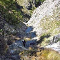
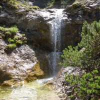
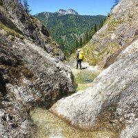
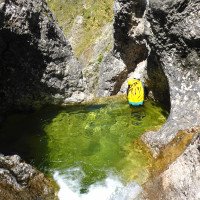
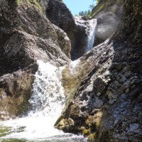
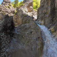
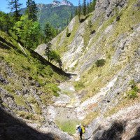
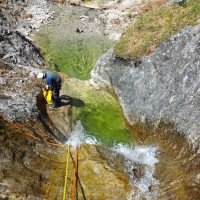
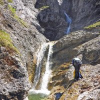
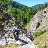
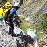
Offener Graben mit steilen und teilweise felsigen Flanken. Lange Gehstrecken mit vielen Passagen zum Abklettern. Kaum Sprung- oder Rutschmöglichkeiten. Attraktiv der zentrale Abfall mit schönen Ausblicken.
Open ditch with steep and partly rocky flanks. Long walking passages with many downclimb passages. Hardly any jumps or slides. Attractive the central drop with beautiful views.
Nord
Sintesi:
traduzione alternativa
➜
Lingua originale
Offener Graben mit steilen und teilweise felsigen Flanken. Lange Gehstrecken mit vielen Passagen zum Abklettern. Kaum Sprung- oder Rutschmöglichkeiten. Attraktiv der zentrale Abfall mit schönen Ausblicken.
Open ditch with steep and partly rocky flanks. Long walking passages with many downclimb passages. Hardly any jumps or slides. Attractive the central drop with beautiful views.
Accesso:
traduzione alternativa
➜
Lingua originale
Wir verlassen die A 8 (München-Salzburg) über die Ausfahrt Holzkirchen. Nach 17 km auf der B 318 in südlicher Richtung erreichen wir Gmund. Wir können nun weiter auf der B 318 am westlichen Ufer des Tegernsees entlang über Bad Wiessee oder auf der B 307 am östlichen Ufer entlang nach Reitrein, wo die beiden Straßen wieder zusammenlaufen (etwa 10 km ab Gmund). Nun weiter auf der B 307 über Kreuth südwärts. Vorbei an Wildbad Kreuth biegen wir nach 4,7 km (ab Kreuth) links ab auf einen großen Wanderparkplatz (mit Haus). Hier stellen wir das Auto ab (Tagesgebühr 3 Euro - 2014).\nEin zweites Auto können wir für den Ausstieg 1,7 km weiter auf der B 307 links der Straße auf dem Gelände der Firstalm parken (Mittwoch Ruhetag).
We leave the A 8 (Munich-Salzburg) via the Holzkirchen exit. After 17 km on the B 318 in southern direction we reach Gmund. We can now continue on the B 318 along the western shore of Lake Tegernsee via Bad Wiessee or on the B 307 along the eastern shore to Reitrein, where the two roads merge again (about 10 km from Gmund). Now continue south on the B 307 via Kreuth. Passing Wildbad Kreuth, we turn left after 4.7 km (from Kreuth) to a large parking lot for hikers (with a house). Here we park the car (daily fee 3 euros - 2014).\nA second car we can park for the exit 1.7 km further on the B 307 left of the road on the grounds of the Firstalm (Wednesday day off).
Avvicinamento (1 h 5):
traduzione alternativa
➜
Lingua originale
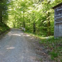
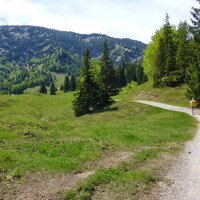
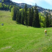
Vom Parkplatz aus queren wir die Weißach und folgen am jenseitigen Ufer der Forststraße in Richtung Firstalm (im Winter Naturrodelbahn). Nach etwa 2,3 km im Wald erreichen wir die Wiesen auf der Hochfläche (1100m üNN). Nach weiteren 1250 m Strecke liegt rechterhand ein Sattel. Wir folgen der Forststraße aber noch ca. 150 m weiter in Richtung Königsalm (SO), biegen dann von der Straße rechts ab und halten Richtung SSW weglos über die Wiesen auf den Sattel unter dem Platteneck zu.
Hier treffen wir auf eine Badewanne, die von einer Quelle befüllt wird. Rechts der Wanne hinunter in den Seitengraben des Plattengrabens und jenseits ein paar Meter hinauf zu einem Pfad, der uns in das Bachbett des Plattengrabens hinunterführt.
From the parking lot we cross the Weißach and follow the forest road on the far bank in the direction of Firstalm (natural toboggan run in winter). After about 2.3 km in the forest we reach the meadows on the plateau (1100m above sea level). After another 1250 m of trail there is a saddle on the righthand side. However, we follow the forest road for about 150 m further in the direction of Königsalm ((SO), then we turn right from the road and continue in the direction of SSW pathlessly across the meadows towards the saddle under the Platteneck. \nHere we meet a bathtub, which is filled by a spring. To the right of the tub down into the side ditch of the Plattengraben and beyond a few meters up to a path that leads us down into the streambed of the Plattengraben.\n
Giro (3 h 30):
traduzione alternativa
➜
Lingua originale
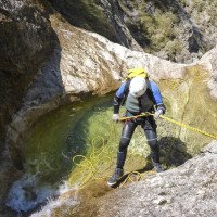
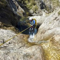
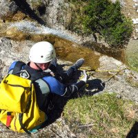
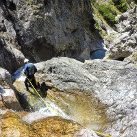
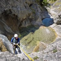
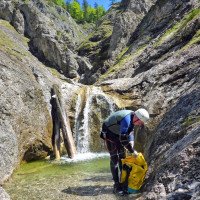
Nach wenigen Metern kommen wir zur ersten Abseilsequenz (4 Abseiler, jeweils max. 10m). Dann folgt eine Laufstrecke von annähernd einer halben Stunde, bis wir zum Einstieg in den zentralen Abfall kommen (schöner Ausblick auf Ross- und Buchstein). Es folgen 3 bis 5 Abseiler, wobei man beim 2. Abseiler (Kettenstand) etwa 22m über den Absatz (Haken rechts am Boden) durchseilen sollte. Vom nächsten Stand kann man wieder etwa 23m durchseilen bis unten, aber der Seilabzug könnte hier hakelig werden.
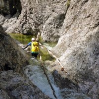
Es folgt nun eine längere Laufstrecke, unterbochen von 4 weiteren Abseilern (wieder jeweils max. 10m). Dann erreichen wir die Mündung in den von links herabziehenden Kirchwandgraben. Dieser wird etwa 100m weiter bachab zum Albertsbach.
In diesem laufend und abkletternd bis zum Ausstieg links hinaus vor der Straßenbrücke.
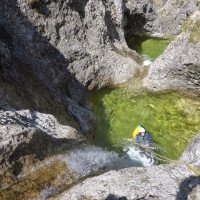
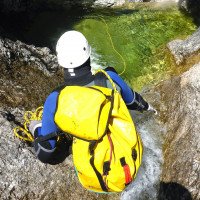
After a few meters we come to the first rappel sequence (4 rappels, each max. 10m). Then follows a run of approximately half an hour, until we come to the entry in the central drop (beautiful view of Ross- and Buchstein). This is followed by 3 to 5 rappels, whereby at the 2nd rappel (chain anchor) you should rope through about 22m over the ledge (anchor on the right side of the ground). From the next stand you can again rappel about 23m down to the bottom, but the rope retrival here could be tricky.\nA longer run now follows, interrupted by 4 more rappels (again, each max. 10m). Then we reach the mouth of the Kirchwandgraben, which descends from the left. This becomes about 100m further downstream the Albertsbach. \nIn this walking and climbing down to the exit left out in front of the road bridge.
Ritorno (20 min):
traduzione alternativa
➜
Lingua originale
Auf der Forststraße am Albertsbach entlang abwärts, entweder dann über den Bach hinüber zur Firstalm, wenn man dort ein zweites Auto stehen hat oder sich dort abholen lässt - oder rechtsufrig weitere 1,6 km abwärts zum großen Parkplatz.
On the forest road along the Albertsbach downhill, either then across the stream to the Firstalm, if you have a second car there or can be picked up there - or right bank further 1.6 km downhill to the large parking lot.
Coordinate:
Inizio del canyon
Fine del canyon
Letteratura:
Mappa
1:25000
Libro Canyoning
Werner Baumgarten
2013
Libro Canyoning
Werner Baumgarten
2010
Info sul canyon Cwiki
Info sul canyon Descente
Info sul canyon Ropewiki
26.05.2024
Max
⭐
★★★★★
📖
★★★
⚓
★★★
💧
Basso
Completato ✔
traduzione alternativa
➜
Lingua originale
Bohrhaken zum Teil in keinem guten Zustand (schlechter Fels). Beim ersten Abseilen lässt sich der Bohrhaken fast von Hand herausziehen. Sonst sehr schöner Canyon, welcher gut Wasser vertragen kann.
Some of the bolts are not in good condition (bad rock). On the first rappel, the bolt can almost be pulled out by hand. Otherwise a very beautiful canyon, which could do with some water.
09.03.2023
System User
⭐
★★★★★
📖
★★★
⚓
★★★
nessuna traduzione disponibile
Daten importiert von https://canyon.carto.net/cwiki/bin/view/Canyons/PlattengrabenCanyon.html
Nuovo rapporto
Riportare brevemente e concisamente le informazioni più importanti dell'ultimo tour o importanti informazioni attuali sul canyon. Se necessario con link a video, foto, ecc..
*
*
*
Esc
Del
Idrologia:
