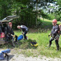
non così difficile
Bief a la Dame
v3 a3 II
1h45
10min
1h30
5min
725m
610m
115m
22m
2x25m
9
1100m
Auto facoltativa
Valutazione:
★★★★★
1.4 (1)
Info:
★★★
0 ()
Belay:
★★★
0 ()
Sintesi:
traduzione alternativa
➜
Lingua originale
Waldgraben zum Abseilen
Forest canyon for rappeling
Nord
Sintesi:
traduzione alternativa
➜
Lingua originale
Waldgraben zum Abseilen
Forest canyon for rappeling
Accesso:
traduzione alternativa
➜
Lingua originale
In Genf kommen wir (nach der Grenze) auf die Autobahn A 40 (Autoroute Blanche) in Richtung Lyon. Auf dieser fahren wir etwa 46 km. Nach Durchfahrt des 3. Tunnels passieren wir den langgestreckten Lac Sylans, der links unterhalb (südlich) der A 40 liegt. Bei der Ausfahrt unmittelbar am westlichen Ende des Sees (Richtung Nantua) verlassen wir die A 40. Wir kommen auf die D 1084 (die frühere N 84) und fahren auf dieser in entgegengesetzter Richtung wieder am Lac Sylans entlang ziemlich genau 5 km. Dann biegen wir rechts ab auf die D 55 B. Auf dieser geht es im Wald etwas mehr als 500 m in südlicher Richtung bergauf. Die Straße quert dann in einer Haarnadelkurve "unseren" Bach. Vor der Brücke rechts ist viel Platz für unser unteres Auto.
Mit dem zweiten Auto geht es weiter im Wald aufwärts. Nach etwa 2,5 km stoßen wir auf eine Straßenkreuzung und biegen hier rechts ab auf die D 55. Etwa 250 m nach der Kreuzung durchfahren wir die Ortschaft Lalleyriat und über freies Gelände geht es hinauf zur nächsten Ortschaft Poizat. Wir durchfahren auch diese Ortschaft und kommen in den etwas abgesetzten Ortsteil Le Replat. Hier biegen wir von der bisherigen Straße rechts ab auf die Rue Champ Conty und fahren in Richtung NNO die Teerstraße bergab. Dabei halten wir uns bei der Verzweigung rechts. Wir kommen an das Ende der Teerstraße und parken hier unser oberes Fahrzeug.
In Geneva we get (after the border) on the highway A 40 (Autoroute Blanche) in the direction of Lyon. On this we drive about 46 km. After passing through the 3rd tunnel, we pass the elongated Lac Sylans, which lies on the left below (south of) the A 40. At the exit immediately at the western end of the lake (direction Nantua) we leave the A 40. We come to the D 1084 (the former N 84) and drive on it in the opposite direction again along Lac Sylans for about 5 km. Then we turn right on the D 55 B. On this road we go uphill in the forest for a little more than 500 m in southern direction. The road then crosses "our" stream in a hairpin bend. Before the bridge on the right there is plenty of space for our lower car.\nWith the second car we continue uphill in the forest. After about 2.5 km we come to a road junction and turn right here onto the D 55. About 250 m after the junction we pass through the village of Lalleyriat and over open ground we go up to the next village of Poizat. We pass through this village as well and arrive at the somewhat isolated hamlet of Le Replat. Here we turn right from the previous road onto Rue Champ Conty and head NNO down the tarred road. We keep to the right at the junction. We come to the exit of the tarred road and park our upper vehicle here.
Avvicinamento (10 min):
traduzione alternativa
➜
Lingua originale
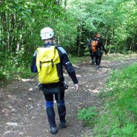
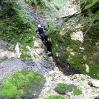
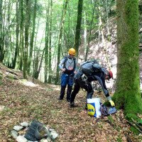
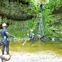
Vom Ende der Teerstraße (wo sie sich verzweigt) führt ein Feldweg in der Mitte in nordöstlicher Richtung abwärts.\nDer Forstweg nimmt einen Bogen nach rechts und wir sehen unter uns das aus südlicher Richtung herabziehende Bachbett. Wir steigen in das Bachbett ab und befinden uns unmittelbar oberhalb des 20-m-Abseilers.
From the exit of the tarred road (where it branches), a dirt road leads down the middle in a northeasterly direction.\nThe forest road takes a turn to the right and we see below us the streambed descending from the south. We descend into the streambed and are immediately above the 20 m rappel.
Giro (1 h 30):
traduzione alternativa
➜
Lingua originale
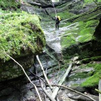
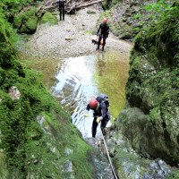
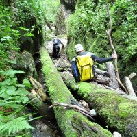
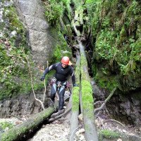
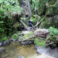
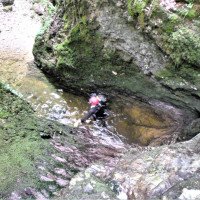
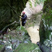
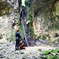
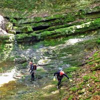
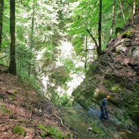
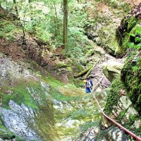
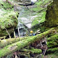
Das Bachbett ist extrem glitschig, mehrere Laufpassagen, wiederholt Totholz in der Rinne, lohnt nur bei Wasserdurchsatz.
The streambed is extremely slippery, several walking passages, repeated dead wood in the chute, worth it only when there is water flow.
Ritorno (5 min):
traduzione alternativa
➜
Lingua originale
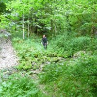
Vor Erreichen des Parkplatzes mit dem unteren Auto links hinaus auf eine Piste, die zum Parkplatz führt.
Before reaching the parking lot with the lower car left out onto a slope that leads to the parking lot.
Coordinate:
Inizio del canyon
Fine del canyon
Parcheggio all'entrata
Parcheggio in uscita
Letteratura:
Mappa
IGN TOP25 3230 OT, Nantua - Hauteville-Lompnes/Nord Bugey, 1:25 000
Mappa
IGN Série Orange 3229, Nantua, 1:50 000
Libro Canyoning
Canyons et cascades de l'Ain. Groupe Speleo Hauteville-Lompnes, B. Hugon, D. Gritti, P. Flochon, 2002
2002
Info sul canyon Cwiki
Info sul canyon Descente
Info sul canyon Ropewiki
Info sul canyon FFME
09.03.2023
System User
⭐
★★★★★
📖
★★★
⚓
★★★
nessuna traduzione disponibile
Daten importiert von https://canyon.carto.net/cwiki/bin/view/Canyons/BiefalaDameCanyon.html
Idrologia:
