un po' difficile
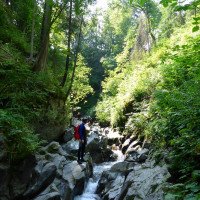
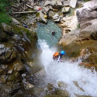
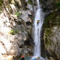
Belle au Bois
v3 a4 I
1h55
5min
1h30
20min
30m
1000m
Valutazione:
★★★★★
3.4 (1)
Info:
★★★
0 ()
Belay:
★★★
0 ()
Sintesi:
traduzione alternativa
➜
Lingua originale
Rohdaten Import von Descente Canyons https://www.descente-canyon.com/canyoning/canyon/2137
Raw data import from Descente Canyons https://www.descente-canyon.com/canyoning/canyon/2137
Sintesi:
traduzione alternativa
➜
Lingua originale
Rohdaten Import von Descente Canyons https://www.descente-canyon.com/canyoning/canyon/2137
Raw data import from Descente Canyons https://www.descente-canyon.com/canyoning/canyon/2137
Accesso:
Avvicinamento (5 min):
Giro (1 h 30):
Ritorno (20 min):
Coordinate:
Inizio del canyon
Fine del canyon
des que vous voyer une ptite chapelle ces la
Parcheggio all'entrata
signale pas une pencarte cayonning a cote du depot
Parcheggio in uscita
premier a droite rte edmond de rotchild pis suiver la route j usque au bout devant les immeuble
Letteratura:
Libro Canyoning
Canyons de Haute-Savoie. 2ª Edición. Christian Charletty - Gérard Gudefin - Bruno Hugon - J.P. Beaudoin, 2004
2004
Info sul canyon Descente
Info sul canyon Ropewiki
09.03.2023
System User
⭐
★★★★★
📖
★★★
⚓
★★★
nessuna traduzione disponibile
Daten importiert von https://www.descente-canyon.com/canyoning/canyon/2137/Belle-au-Bois.html
Idrologia:


