non così difficile
Häselgehrbach
v3 a3 III
2h20
30min
1h45
5min
1040m
970m
70m
25m
2x30m
11
500m
a piedi
Valutazione:
★★★★★
2.7 (5)
Info:
★★★
3 (3)
Belay:
★★★
3 (3)
Sintesi:
traduzione alternativa
➜
Lingua originale
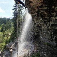
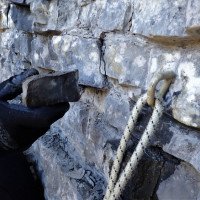
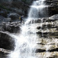
Kurze, schöne vertikale Tour mit Ausblick auf die Zugspitze; mehrere rutschige Stellen; fast alle Abseilstellen sind im Wasser; einige scharfe Kanten; gut eingerichtet; schöne kleine Engstellen; mehrere Fluchtmöglichkeiten; Exposition Ost; oft Zuschauer bei der letzten Kaskade; Sedimentgestein
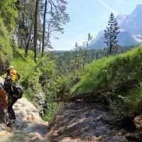
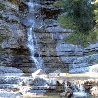
Short, beautiful vertical tour with views of the Zugspitze; several slippery spots; almost all rappels are in the water; some sharp edges; well set up; nice small narrows; several escape possibilities; exposure east; often spectators at the last cascade; sedimentary rock; catchment area 3.9 Km².
Est
3.90km²
Sintesi:
traduzione alternativa
➜
Lingua originale
Kurze, schöne vertikale Tour mit Ausblick auf die Zugspitze; mehrere rutschige Stellen; fast alle Abseilstellen sind im Wasser; einige scharfe Kanten; gut eingerichtet; schöne kleine Engstellen; mehrere Fluchtmöglichkeiten; Exposition Ost; oft Zuschauer bei der letzten Kaskade; Sedimentgestein
Short, beautiful vertical tour with views of the Zugspitze; several slippery spots; almost all rappels are in the water; some sharp edges; well set up; nice small narrows; several escape possibilities; exposure east; often spectators at the last cascade; sedimentary rock; catchment area 3.9 Km².
Accesso:
traduzione alternativa
➜
Lingua originale
Von Deutschland kommend fährt man beim alten Zollamt Ehrwald in Richtung Ortschaft Ehrwald. Nach kurzer Strecke über die Grenze kommt auf der rechten Straßenseite ein großes Kreuz und eine Kläranlage. Danach kommt eine kleine Brücke die über den Loisachbach führt mit einem Parkplatz für ca. 10 PKW direkt eben der Straße. Hier parken.
Coming from Germany you drive at the old customs office Ehrwald in the direction of the village Ehrwald. After a short distance across the border, there is a large cross and a sewage treatment plant on the right side of the road. Then there is a small bridge that leads over the Loisachbach with a parking lot for about 10 cars directly level with the road. Park here.
Avvicinamento (30 min):
traduzione alternativa
➜
Lingua originale
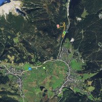
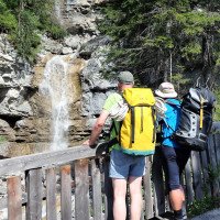
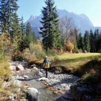
Vom Parkplatz aus geht man über die nahegelegene Brücke. Möchte man kurz den Wasserstand checken, so folgt man dem Radweg (Schotter) rechts nach der Brücke für 5min. Danach geht man zurück zur Brücke und folgt der asphaltierten Bergstraße (Fahrverbot) links in Richtung "Häselgehralm". Die Straße führt nach einer Rechtskehre über eine Brücke (Häselgehrbach). Danach folgt eine Linkskehre mit Kreuz. Ab hier ist es nicht mehr weit bis man mehr oder weniger geradewegs auf den Bach stößt. Der Einstieg liegt auf ca. 1090m direkt bei den Holzbalken (Brücke) die über den Häselgehrbach führen.
30min
From the parking lot, cross the nearby bridge. If you want to briefly check the water level, follow the bike path (gravel) to the right after the bridge for 5min. Then go back to the bridge and follow the asphalted mountain road (no driving) to the left in the direction of "Häselgehralm". The road leads after a rightward haipin bend over a bridge (Häselgehrbach). Then follows a leftward haipin bend with a cross. From here it is not far until you meet the stream more or less straight. The entry is at about 1090m directly at the wooden beams (bridge) that lead over the Häselgehrbach.
Giro (1 h 45):
traduzione alternativa
➜
Lingua originale
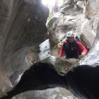
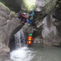
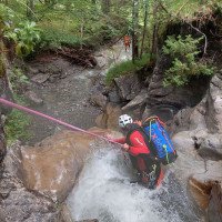
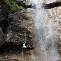
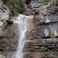
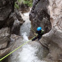
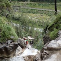
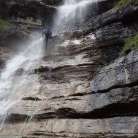
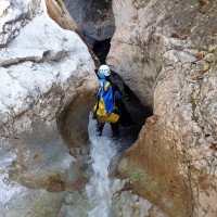
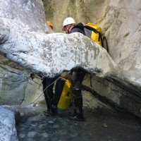
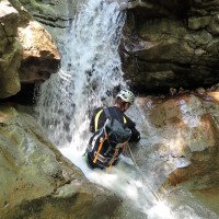
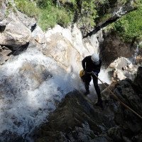
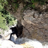
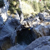
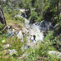
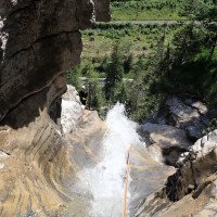
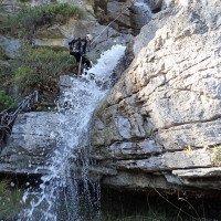
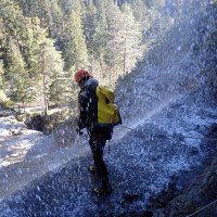
Die Schlucht ist, bis auf eine kurze Gehpassage im oberen Teil sehr kontinuierlich. Je nach Wassertiefe können einige Stufen auch gerutscht oder gesprungen werden. Die Schlucht ist technisch nicht allzu schwer, sollte aber bei höherem Wasserstand nicht unterschätzt werden, da man oft zwingend im Wasserstrahl abseilt und der Fels meist sehr rutschig ist. Mehrere kleine schöne Auswaschungen/Engstellen und die max. 25m hohen Abseilstellen in der Kombination mit dem kurzen Zustieg sind optimal für eine lässige Halbtagestour.
1,5-2h
The canyon is very continuous, except for a short walking passage in the upper part. Depending on the water depth, some steps can also be slid or jumped. The canyon is technically not al too difficult, but should not be underestimated at higher water levels because you often rappel mandatory in the water stream and the rock is usually very slippery. Several small beautiful washouts / exposures and the max. 25m high rappels in combination with the short access are optimal for a casual half-day tour.
Ritorno (5 min):
traduzione alternativa
➜
Lingua originale
Nach der letzten Kaskade auf ca. 970m folgt man dem Radweg rechts für 5min zurück zum Ausgangspunkt.
5min
After the last cascade at about 970m, follow the bike path on the right for 5min back to the starting point.
Coordinate:
Inizio del canyon
47.4209°, 10.9147°
↓↑
DMS: 47° 25" 15.24', 10° 54" 52.92'
DM: 47° 25.254", 10° 54.882"
Google Maps
Austria Topografica
DMS: 47° 25" 15.24', 10° 54" 52.92'
DM: 47° 25.254", 10° 54.882"
Google Maps
Austria Topografica
(descente_1)
Fine del canyon
47.4203°, 10.917°
↓↑
DMS: 47° 25" 13.08', 10° 55" 1.2'
DM: 47° 25.218", 10° 55.02"
Google Maps
Austria Topografica
DMS: 47° 25" 13.08', 10° 55" 1.2'
DM: 47° 25.218", 10° 55.02"
Google Maps
Austria Topografica
(descente_2)
Parcheggio Entrata e uscita
47.4188°, 10.9159°
↓↑
DMS: 47° 25" 7.68', 10° 54" 57.24'
DM: 47° 25.128", 10° 54.954"
Google Maps
Austria Topografica
DMS: 47° 25" 7.68', 10° 54" 57.24'
DM: 47° 25.128", 10° 54.954"
Google Maps
Austria Topografica
(descente_3)
Letteratura:
Libro Canyoning
Werner Baumgarten
2013
Libro Canyoning
Werner Baumgarten
2010
Libro Canyoning
Alexander Riml / Gunnar Amor
2012
Info sul canyon ACA
Info sul canyon Cwiki
Info sul canyon Descente
Info sul canyon Ropewiki
Gallería
31.08.2024
daniel albrecht
⭐
★★★★★
📖
★★★
⚓
★★★
💧
Basso
Completato ✔
traduzione alternativa
➜
Lingua originale
Alle Stände ok
all stands ok
08.10.2023
Patrick Klarner
⭐
★★★★★
📖
★★★
⚓
★★★
💧
Basso
Completato ✔
traduzione alternativa
➜
Lingua originale
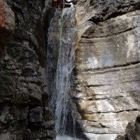
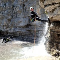
Bei diesmal niedrigem Wasserstand weit weniger rutschig. Am Fuß des letzten Abseilers ist ein kleiner Klettersteig installiert und beidseitig sind Kletterwände vorhanden die sich auch für ein paar Seilübungen eignen.
This time the water level was low, making it much less slippery. A small via ferrata is installed at the foot of the last abseil and there are climbing walls on both sides which are also suitable for a few rope exercises.
01.10.2023
Ralf Breitenstein
⭐
★★★★★
📖
★★★
⚓
★★★
💧
Normale
Completato ✔
traduzione alternativa
➜
Lingua originale
Stände in Ordnung. Oberer Teil eng eingeschnitten und schön. Unterer Teil recht schroff und offen mit vielen rutschigen Stellen und Abbruchkanten. Das schönste an der Tour ist der Blick auf das Zugspitzmassiv bei schönem Wetter.
Wenn der Canyon auf dem Weg liegt, kann man ihn sicherlich empfehlen, ansonsten gibt es aber in der Gegend Touren die mehr Spaß machen.
Stands in order. Upper part narrowly cut and beautiful. Lower part quite rugged and open with many slippery places and break-off edges. The most beautiful thing about the tour is the view of the Zugspitze massif in good weather.
If the canyon is on the way, you can certainly recommend it, but otherwise there are tours in the area that are more fun.
09.03.2023
System User
⭐
★★★★★
📖
★★★
⚓
★★★
nessuna traduzione disponibile
Info: Teile der Canyonbeschreibung wurden automatisiert übernommen. Konkret die Felder Weblinks, Koordinaten, Rating, Ort, Länge des Canyon, Einfachseil Mindestens von https://canyon.carto.net/cwiki/bin/view/Canyons/HaeselgehrbachCanyon.html und https://www.descente-canyon.com/canyoning/canyon/22087
09.03.2023
System User
⭐
★★★★★
📖
★★★
⚓
★★★
nessuna traduzione disponibile
Daten importiert von https://www.canyoning.or.at/index.php/liste-aller-canyons/587-haeselgehrbach
Nuovo rapporto
Riportare brevemente e concisamente le informazioni più importanti dell'ultimo tour o importanti informazioni attuali sul canyon. Se necessario con link a video, foto, ecc..
*
*
*
Esc
Del
Idrologia:
