non così difficile
Hacioglan
v2 a3 II
5h12
1h10
4h
2min
535m
345m
190m
4m
1x20m
1
8000m
Auto necessaria
Valutazione:
★★★★★
3 (3)
Info:
★★★
0 ()
Belay:
★★★
2 (1)
Sintesi:
traduzione alternativa
➜
Lingua originale
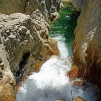
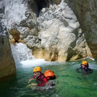
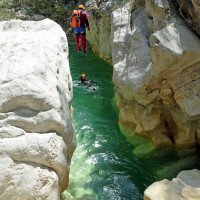
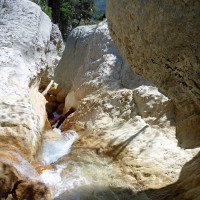
Flusswanderung, die im Verlauf zunehmend attraktiver wird und einige Sprungmöglichkeiten eröffnet.
River walk that becomes increasingly attractive as it progresses and opens up some possible jumps.
Sud-Est
Calcare
Sintesi:
traduzione alternativa
➜
Lingua originale
Flusswanderung, die im Verlauf zunehmend attraktiver wird und einige Sprungmöglichkeiten eröffnet.
River walk that becomes increasingly attractive as it progresses and opens up some possible jumps.
Accesso:
traduzione alternativa
➜
Lingua originale
Von Kas nehmen wir die Staatsstraße 400 in Richtung Antalya. Nach etwa 7 km, kurz vor Erreichen der Ortschaft Agilli biegen wir in spitzem Winkel links von der 400 ab, in Richtung Orttakuyu und der antiken Stadt Phellos (braunes Hinweisschild). Nach etwa 1 km biegt rechts eine kleine Teerstraße ab in nördlicher Richtung (auf Pinarbasi zu). Wir durchfahren Pinarbasi und erreichen etwa 7 km nach dem Abbiegen von der 400 die Höhe. Nun geht es noch 3 km bergab und wir fahren durch Dereköy. 50 m nach der Moschee auf der rechten Seite kommen wir zur Brücke über den Hacioglan. Hier stellen wir das untere Fahrzeug ab.
Mit dem zweiten fahren wir weiter am orograf. linken Ufer des Hacioglan und kommen 6 km hinter Dereköy nach Ugrar. Wir halten hier links und biegen etwas weiter nördlich links ab in Richtung Sinneli. Wir durchfahren eine kleine Siedlung (Cataoluk) am westlichen Rand, biegen vor Sinneli links ab und die neue Straße bringt uns auf den Nordhang hoch über dem Fluss Hacioglan. Nach gut 8 Kilometern biegen wir dann links hinunter ab von der neuen Straße, erreichen nun die gleichnamige Streusiedlung (rund 25 km ab Dereköy) und fahren hinunter zum Fluss. Bei der Brücke stellen wir das zweite Auto ab.
From Kas we take the state road 400 in the direction of Antalya. After about 7 km, just before reaching the village of Agilli, we turn left from the 400 at a sharp angle, towards Orttakuyu and the ancient city of Phellos (brown sign). After about 1 km, a small tarred road turns off to the right in a northerly direction (towards Pinarbasi). We pass through Pinarbasi and reach the high ground about 7 km after turning off the 400. Now we go downhill for another 3 km and drive through Dereköy. 50 m after the mosque on the right side we come to the bridge over the Hacioglan. Here we park the lower vehicle.\n\nWith the second one we continue along the orographic left bank of the Hacioglan and 6 km after Dereköy we come to Ugrar. We keep left here and turn left a little further north towards Sinneli. We pass through a small settlement (Cataoluk) on the western edge, turn left before Sinneli and the new road takes us to the northern slope high above the Hacioglan River. After a good 8 kilometers we turn left down from the new road, now we reach the scattered settlement of the same name (about 25 km from Dereköy) and drive down to the river. At the bridge we park the second car.
Avvicinamento (1 h 10):
traduzione alternativa
➜
Lingua originale
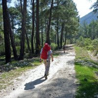
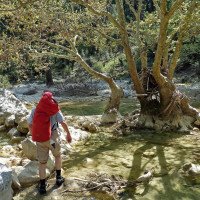
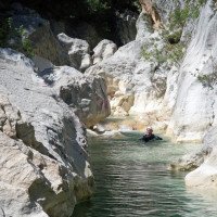
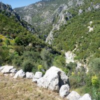
Wir folgen nun der Piste am orografisch rechten Bachufer abwärts in östlicher Richtung. Dort, wo die Piste sich vom Bachlauf abwendet und zu steigen beginnt, nehmen wir den Waldweg nach links und folgen immer dem Bachlauf. Mehrere Querungen des Baches folgen, der Pfad wird zur Ziegenspur und verliert sich schließlich. Dann kommen wir zur ersten Engstelle zwischen festem Fels und einer längeren Schwimmstrecke. Hier beginnt die eigentliche Canyoningstrecke.
We now follow the track along the orographic right bank of the stream downhill in an easterly direction. Where the track turns away from the stream and begins to climb, we take the forest path to the left and always follow the stream. Several crossings of the stream follow, the path becomes a goat track and finally gets lost. Then we come to the first narrow section between solid rock and a longer swim. Here begins the actual canyoning route.
Giro (4 h):
traduzione alternativa
➜
Lingua originale
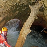
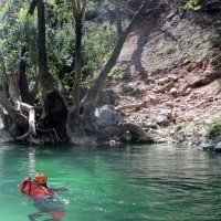
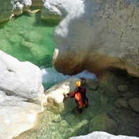
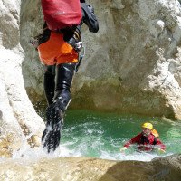
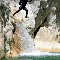
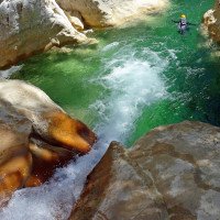
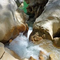
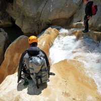
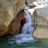
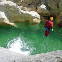
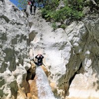
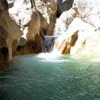
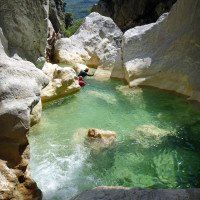
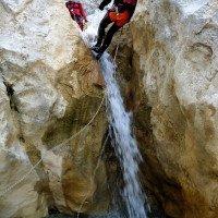
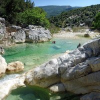
Auch nach der ersten Schwimmstrecke viel Laufen, aber im letzten Drittel attraktives Ambiente mit einigen Sprungmöglichkeiten.
Also a lot of walking after the first swim, but in the last third attractive ambience with some possible jumps.
Ritorno (2 min):
traduzione alternativa
➜
Lingua originale
Nachdem der abschließende Felsriegel durchquert ist, folgt man dem Bach bis zur Straßenbrücke. Etwa 200m vor der Brücke kann man auch schon rechts hinaus auf einen Feldweg.
After crossing the final rock bar, follow the stream to the road bridge. About 200m before the bridge you can already go out to the right on a dirt road.
Coordinate:
Inizio del canyon
Punto di passaggio
du parking 1h 10min jusqu\'à l\'entrée du cours d\'eau (descente)
Fine del canyon
(descente_1)
Parcheggio all'entrata
(descente_2)
Parcheggio in uscita
(descente_3)
Letteratura:
Libro Canyoning
Erdal Yalcin
2024
978-625-00-2002-9
57 Canyonbeschreibungen Westtürkei
Altro
Andrea Forni, Davide Tinti, Sirio Bologna, Erdal Yalcin
2024
9798883621849
9 Canyon-Beschreibungen Südwesttürkei
Info sul canyon Cwiki
Info sul canyon Descente
Info sul canyon Ropewiki
10.04.2024
Peisen
⭐
★★★★★
📖
★★★
⚓
★★★
💧
Normale
Completato ✔
traduzione alternativa
➜
Lingua originale
Alles gut
All good
09.03.2023
System User
⭐
★★★★★
📖
★★★
⚓
★★★
nessuna traduzione disponibile
Info: Teile der Canyonbeschreibung wurden automatisiert übernommen. Konkret die Felder Weblinks, Koordinaten, Rating, Länge des Canyon, Einfachseil Mindestens von https://www.descente-canyon.com/canyoning/canyon/22489
09.03.2023
System User
⭐
★★★★★
📖
★★★
⚓
★★★
nessuna traduzione disponibile
Daten importiert von https://canyon.carto.net/cwiki/bin/view/Canyons/HacioglanCanyon.html
Nuovo rapporto
Riportare brevemente e concisamente le informazioni più importanti dell'ultimo tour o importanti informazioni attuali sul canyon. Se necessario con link a video, foto, ecc..
*
*
*
Esc
Del
Idrologia:
