non così difficile
Kühbach
v3 a1 II
2h35
30min
2h
5min
1079m
870m
209m
35m
350m
a piedi
Valutazione:
★★★★★
2.2 (5)
Info:
★★★
2 (2)
Belay:
★★★
2.7 (3)
Sintesi:
traduzione alternativa
➜
Lingua originale
Detailbeschreibung siehe https://alpinesicherheit.com/2018/kuehbach-canyoning-schluchtenfuehrer/
Bietet sich als Ausweichtour an, wenn SababachCanyon wegen zu großem Wasserdurchsatz nicht machbar scheint.
Der Kühbach führt nur selten Wasser ab Beginn des ersten Abseilers. Es versickert in aller Regel vorher und tritt auch nicht wieder zu Tage.
Detailed description see https://alpinesicherheit.com/2018/kuehbach-canyoning-schluchtenfuehrer/
Offers itself as an alternative tour, if SababachCanyon does not seem feasible because of too much water flow.
The Kühbach rarely carries water from the beginning of the first rappel. It usually seeps away beforehand and does not come to the surface again.
Est
Calcare
Sintesi:
traduzione alternativa
➜
Lingua originale
Detailbeschreibung siehe https://alpinesicherheit.com/2018/kuehbach-canyoning-schluchtenfuehrer/
Bietet sich als Ausweichtour an, wenn SababachCanyon wegen zu großem Wasserdurchsatz nicht machbar scheint.
Der Kühbach führt nur selten Wasser ab Beginn des ersten Abseilers. Es versickert in aller Regel vorher und tritt auch nicht wieder zu Tage.
Detailed description see https://alpinesicherheit.com/2018/kuehbach-canyoning-schluchtenfuehrer/
Offers itself as an alternative tour, if SababachCanyon does not seem feasible because of too much water flow.
The Kühbach rarely carries water from the beginning of the first rappel. It usually seeps away beforehand and does not come to the surface again.
Accesso:
traduzione alternativa
➜
Lingua originale
Von Reutte über Pflach und Unterletzen in Richtung Gasthaus Bärenfalle fahren. Aus Richtung Füssen auf der L69 über Musau anfahren. Am Gasthof vorbei und noch kurz der Forststrasse folgen bis zum Wanderparkplatz vor der ersten Serpentine (875m Höhe).
From Reutte drive via Pflach and Unterletzen in the direction of Gasthaus Bärenfalle. From the direction of Füssen on the L69 via Musau. Pass the inn and follow the forest road for a short while until you reach the parking lot for hikers before the first serpentine (875m altitude).
Avvicinamento (30 min):
traduzione alternativa
➜
Lingua originale
Die Forststraße (Reintalstraße) ca. 1300m aufsteigen und auf 1055m links ab auf einen Waldweg, der uns nahezu horizontal zum Einstieg führt.
Ascend the forest road (Reintalstraße) for about 1300m and at 1055m turn left onto a forest road that leads us almost horizontally to the entry.
Giro (2 h):
traduzione alternativa
➜
Lingua originale
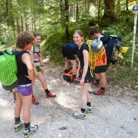
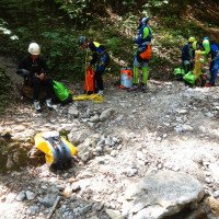
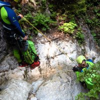
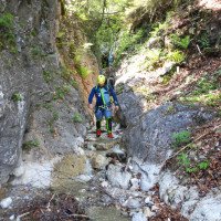
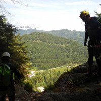
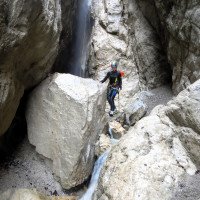
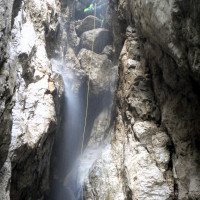
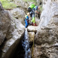
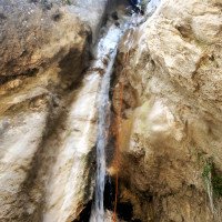
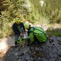
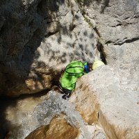
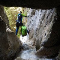
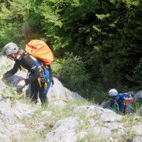
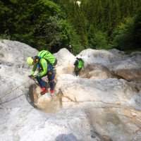
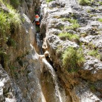
Zunächst enge Schlucht, später auf offenen Felsrücken abwärts, siehe Videos und Fotos.
At first narrow canyon, later descending on open rocky ridges, see videos and photos.
Ritorno (5 min):
traduzione alternativa
➜
Lingua originale
Unten angekommen links hinaus zum Auto.
Once at the bottom, turn left out to the car.
Coordinate:
Inizio del canyon
47.5108°, 10.687°
↓↑
DMS: 47° 30" 38.88', 10° 41" 13.2'
DM: 47° 30.648", 10° 41.22"
Google Maps
Austria Topografica
DMS: 47° 30" 38.88', 10° 41" 13.2'
DM: 47° 30.648", 10° 41.22"
Google Maps
Austria Topografica
Parcheggio Entrata e uscita
47.5137°, 10.6881°
↓↑
DMS: 47° 30" 49.32', 10° 41" 17.16'
DM: 47° 30.822", 10° 41.286"
Google Maps
Austria Topografica
DMS: 47° 30" 49.32', 10° 41" 17.16'
DM: 47° 30.822", 10° 41.286"
Google Maps
Austria Topografica
Wanderparkplatz
Fine del canyon
47.5132°, 10.6884°
↓↑
DMS: 47° 30" 47.52', 10° 41" 18.24'
DM: 47° 30.792", 10° 41.304"
Google Maps
Austria Topografica
DMS: 47° 30" 47.52', 10° 41" 18.24'
DM: 47° 30.792", 10° 41.304"
Google Maps
Austria Topografica
Letteratura:
Mappa
1:50000
Mappa
1:50000
Mappa
1:50000
Libro Canyoning
Alexander Riml / Gunnar Amor
2012
Info sul canyon Cwiki
Info sul canyon Descente
Info sul canyon Ropewiki
Altro info sul canyon
Gallería
29.07.2023
Ralf Breitenstein
⭐
★★★★★
📖
★★★
⚓
★★★
💧
Basso
Completato ✔
traduzione alternativa
➜
Lingua originale
Alles in Ordnung, ausreichend Haken. Wasserstand nach vorherigen Regenfällen vorhanden aber trotzdem niedrig und unkritisch.
Everything in order, sufficient hooks. Water level after previous rains present but still low and not critical.
06.06.2023
Wolfgang Streicher
⭐
★★★★★
📖
★★★
⚓
★★★
Completato ✔
traduzione alternativa
➜
Lingua originale
Vom Beginn der Schluchtaufweitung weg waren die Haken nicht konsequent in der Falllinie des Baches gesetzt. So sah man sich wiederholt zu längeren Schrägabseilern genötigt. Immerhin konnte man sich an einem hier ganz seltenen Wasserdurchsatz erfreuen.
From the beginning of the canyon widening, the pitons were not consistently set in the fall line of the stream. Thus one saw oneself repeatedly forced to longer diagonal ropes. At least one could enjoy a very rare water flow here.
26.05.2023
Fred
⭐
★★★★★
📖
★★★
⚓
★★★
💧
Normale
Completato ✔
traduzione alternativa
➜
Lingua originale
Alles in Ordnung.Haken in gutem Zustand, sehr viele Haken an verschiedenen Stellen.
Everything in order.hooks in good condition, very many hooks in different places.
09.03.2023
System User
⭐
★★★★★
📖
★★★
⚓
★★★
nessuna traduzione disponibile
Info: Teile der Canyonbeschreibung wurden automatisiert übernommen. Konkret die Felder Weblinks, Koordinaten, Rating, Länge des Canyon, Einfachseil Mindestens von https://www.descente-canyon.com/canyoning/canyon/23105
09.03.2023
System User
⭐
★★★★★
📖
★★★
⚓
★★★
nessuna traduzione disponibile
Daten importiert von https://canyon.carto.net/cwiki/bin/view/Canyons/KuehbachCanyon.html
Nuovo rapporto
Riportare brevemente e concisamente le informazioni più importanti dell'ultimo tour o importanti informazioni attuali sul canyon. Se necessario con link a video, foto, ecc..
*
*
*
Esc
Del
Idrologia:
