v3 a3 IV
5h35
20min
5h
15min
1120m
680m
440m
25m
2x30m
21
12000m
Cablecar
Valutazione:
★★★★★
3.1 (4)
Info:
★★★
2 (2)
Belay:
★★★
1.5 (2)
Sintesi:
traduzione alternativa
➜
Lingua originale
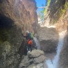
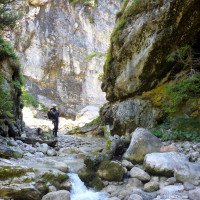
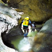
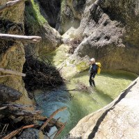
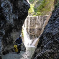
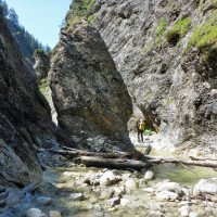
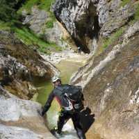
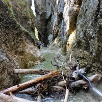
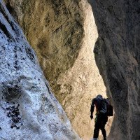
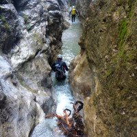
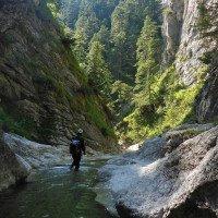
Kleingliedrige Schlucht mit langen Gehpassagen zwischen einigen schönen Engstellen.
Small canyon with long walking passages between some beautiful narrow sections.
Sud
Calcare
10.00km²
Sintesi:
traduzione alternativa
➜
Lingua originale
Kleingliedrige Schlucht mit langen Gehpassagen zwischen einigen schönen Engstellen.
Small canyon with long walking passages between some beautiful narrow sections.
Accesso:
traduzione alternativa
➜
Lingua originale
Wir verlassen die A 12 (Inntalautobahn) über die Ausfahrt "Kufstein Süd" auf die "B 173" und queren danach den Inn. Auf der Eibergstraße fahren wir 1,1 km (ab Inn-Brücke) in östlicher Richtung und am 2. Kreisverkehr dann rechts in Richtung St. Johann (immer noch auf der "B 173"). An der Weissache entlang kommen wir nach 2,2 km zum Landgasthof in Egerbach. Unmittelbar nach diesem Gasthof biegen wir links ab und fahren auf der schmalen Straße zunächst hinauf zum früheren Gasthaus Haberghof und dann noch 600 m weiter bis zum Ende der Teerstraße bei dem Einödhof Köllenberg. Hier fragen wir, ob und wo wir unser Auto für den Ausstieg abstellen können. Falls wir dazu nicht bereit sind oder die Anfrage abgelehnt wird, stellen wir unser Auto auf einer Straßenaufweitung im Wald (mit Rentnerbank) zwischen Haberghof (früher Gastwirtschaft) und dem Einödhof ab GPS: 47.553510, 12.175870.
Mit dem zweiten Auto fahren wir zurück, in nördlicher Richtung durch Kufstein hindurch und steuern dann die Talstation des Kaiserliftes (beschildert) an. Hier stellen wir das zweite Auto ab. Falls man sich die 5 Euro Parkgebühr sparen will, stellt man das zweite Auto an dem hier ausgewiesenen Parkplatz ab.( oder 1Pers. fährt mit dem Bike 15min vom Ausstiegsparkplatz zurück zum Lift)
We leave the A 12 (Inntalautobahn) via the "Kufstein Süd" exit onto the "B 173" and then cross the Inn. Follow Eibergstraße for 1.1 km (from the Inn bridge) in an easterly direction and then turn right at the 2nd traffic circle in the direction of St. Johann (still on the B 173). After 2.2 km along the Weissache we come to the country inn in Egerbach. Immediately after this inn, we turn left and follow the narrow road first up to the former Haberghof inn and then 600 m further to the exit of the tarred road at the Einödhof Köllenberg. Here we ask if and where we can park our car for the exit. If we are not prepared to do this or the request is refused, we park our car on a widened road in the forest (with a pensioner's bench) between Haberghof (formerly an inn) and Einödhof GPS: 47.553510, 12.175870.
In the second car, we drive back in a northerly direction through Kufstein and then head for the valley station of the Kaiserlift (signposted). We park the second car here. If you want to save the 5 euro parking fee, park the second car in the parking lot marked here (or 1 person can ride the bike 15 minutes from the parking exit back to the lift).
Avvicinamento (20 min):
traduzione alternativa
➜
Lingua originale
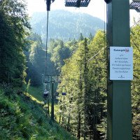
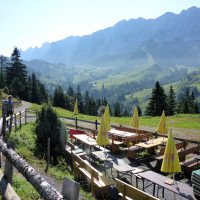
Nun mit dem Kaiserlift hinauf zur Bergstation Brentnejoch auf 1273m Höhe.(15Euro Okt- 2023). Dort nehmen wir den Forstweg, der uns in um die Kuppe rechts herum in einem langgezogenen Bogen hinabführt zur Brentenjochalm (1208m Höhe). Wenig später verlassen wir die Piste und halten weglos in Richtung SSO hinunter zum Gaisbach.
Alternativ kann man der Forststraße in östlicher Richtung zur Steinberghütte folgen und trifft nach ca.20min Fußweg auf den Bach (oberer Einstieg bei der Holzbrücke 1120m Höhe).
Wenn man lieber zu Fuß hochgehen möchte, nimmt man den "Wilde Kaiser Steig" auf der orograf. linken Hangseite über dem Gaisbach zur Kaindlhütte und von da hinunter zum oberen Einstieg (ca.2h Gehzeit)
Now take the Kaiserlift up to the Brentnejoch mountain station at an altitude of 1273m (15Euro Oct- 2023). There we take the forest path which leads us around the crest to the right in a long curve down to the Brentenjochalm (1208m altitude). A little later, we leave the piste and head south-southeast down to the Gaisbach.
Alternatively, you can follow the forest road in an easterly direction to the Steinberghütte and meet the stream after about 20 minutes on foot (upper entry at the wooden bridge 1120m altitude).
If you prefer to walk up, take the "Wilde Kaiser Steig" path on the orographic left side of the slope above the Gaisbach to the Kaindlhütte and from there down to the upper entry point (approx. 2h walking time).
Giro (5 h):
traduzione alternativa
➜
Lingua originale
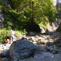
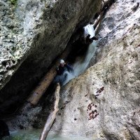
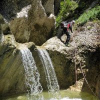
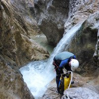
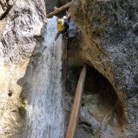
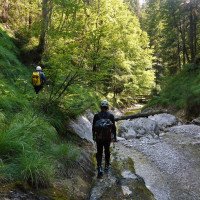
Vom oberen Einstieg geht es zunächst einmal im oder neben dem Bach etwa 100 m abwärts bis zur ersten Stufe, wo der mit 25m höchste Abseiler (vom Baum) uns erwartet (kann auch links umgangen werden). Es folgt eine etwa 20min lange Laufstrecke, in deren Bereich der Direktzustieg von der Brentenjoch-Alm liegt.
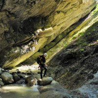
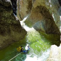
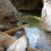
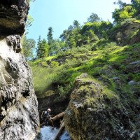
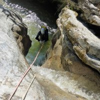
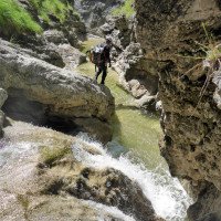
Nach etwa 6-7 kleineren Abseilern und mhreren Gehstrecken kommen wir zum Rest einer Geschiebesperre, wo von li. der Grüne Graben herabzieht (950m Höhe). Auch über diesen kann man einsteigen (vgl. Riml/Amor). Ab der Geschiebebremse wird die Schlucht enger und die Abseiler sind zum Teil Nummeriert . Im weiteren verlauf kommen einige Engstellen und Stufen mit Einzelhaken oder Verklausungen über die man geschickt abklettert bzw. abseilt. Ein Notbohrset und ein paar Schlingen sollte man auf jeden Fall mitführen da sich die Schlucht schnell verändern kann. Das Ende der Tour ist bei der Holzbrücke auf ca.680m.
From the upper entry, the route first descends in or next to the stream for about 100 m to the first step, where the highest rappel (25 m) (from the tree) awaits us (can also be bypassed on the left). This is followed by a 20-minute walk, in the area of which is the direct access from the Brentenjoch-Alm.
After about 6-7 smaller rappels and several walking passages, we come to the rest of a boulder barrier, where the Green Ditch descends from the left (950m altitude). You can also climb over this (see Riml/Amor). From the slide brake the canyon becomes narrower and some of the rappels are numbered. Further on, there are a few narrow sections and steps with single pitons or obstructions that can be skillfully rappelled over. You should always carry an emergency drill set and a few canyons with you as the canyon can change quickly. The exit of the tour is at the wooden bridge at approx. 680m.
Ritorno (15 min):
traduzione alternativa
➜
Lingua originale
Man folgt dem Weg rechts in nordwestlicher Richtung hinauf zum Einödhof und dem zuerst geparkten Auto.
Follow the path to the right in a north-westerly direction up to the Einödhof and the first parked car.
Coordinate:
Inizio del canyon
47.573896°, 12.236228°
↓↑
DMS: 47° 34" 26.03', 12° 14" 10.42'
DM: 47° 34.434", 12° 14.174"
Google Maps
Austria Topografica
DMS: 47° 34" 26.03', 12° 14" 10.42'
DM: 47° 34.434", 12° 14.174"
Google Maps
Austria Topografica
oberer Einstieg (Holzbrücke)
Parcheggio in uscita
47.5535°, 12.1758°
↓↑
DMS: 47° 33" 12.6', 12° 10" 32.88'
DM: 47° 33.21", 12° 10.548"
Google Maps
Austria Topografica
DMS: 47° 33" 12.6', 12° 10" 32.88'
DM: 47° 33.21", 12° 10.548"
Google Maps
Austria Topografica
Parkplatz für den Ausstieg
Parcheggio all'entrata
47.5894°, 12.1861°
↓↑
DMS: 47° 35" 21.84', 12° 11" 9.96'
DM: 47° 35.364", 12° 11.166"
Google Maps
Austria Topografica
DMS: 47° 35" 21.84', 12° 11" 9.96'
DM: 47° 35.364", 12° 11.166"
Google Maps
Austria Topografica
Parkplatz für den Zustieg via Seilbahn
Fine del canyon
47.553389°, 12.185872°
↓↑
DMS: 47° 33" 12.2', 12° 11" 9.14'
DM: 47° 33.203", 12° 11.152"
Google Maps
Austria Topografica
DMS: 47° 33" 12.2', 12° 11" 9.14'
DM: 47° 33.203", 12° 11.152"
Google Maps
Austria Topografica
bei der Holzbrücke
Letteratura:
Mappa
1:25000
Mappa
1:25000
Mappa
1:50000
Libro Canyoning
Alexander Riml / Gunnar Amor
2012
Libro Canyoning
Werner Baumgarten
2010
Libro Canyoning
Werner Baumgarten
2013
Info sul canyon Cwiki
Info sul canyon Descente
Info sul canyon Ropewiki
09.07.2024
koengysels
⭐
★★★★★
📖
★★★
⚓
★★★
💧
Normale
Completato ✔
nessuna traduzione disponibile
Automatisch importiert von Descente-Canyon.com für Canyon Gaisbach
(Quelle: https://www.descente-canyon.com/canyoning/canyon-debit/22365/observations.html)
29.10.2023
Thomas Fras
⭐
★★★★★
📖
★★★
⚓
★★★
💧
Basso
Completato ✔
traduzione alternativa
➜
Lingua originale
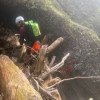
Geschiebesperre nicht mehr vorhanden(2Balken),Einzelhaken gerade noch ausreichend, zum Teil nützt man das Holz zum abklettern/abseilen., nur noch Plakette 3,6,7,11,14 vorhanden, gesamte Strecke ca.12km und nicht wie im Buch 4,5km!!! daher sehr viele lange Gehstrecken und Klettereien.
Geschiebesperre no longer present(1Balken),single hooks just enough, in part you use the wood to abklettern/abseil., only plaque 3,6,7,11,14 still present (also make no sense), total route ca.12km and not as in the book 4.5km!!! therefore very many longer walking distances and climbs.
01.09.2023
Kevin Sindberg
⭐
★★★★★
📖
★★★
⚓
★★★
💧
Normale
Completato ✔
traduzione alternativa
➜
Lingua originale
Schöne Tagestour mit passend bewerteten Engagement. Viele Rutschmöglichkeiten in einer wilden Schlucht. Ungefähr ab der Hälfte der Tour (Abseiler #11, Nummerierung aufsteigend) ziemlich verklaust, sodass einige Stände nur schwer zugänglich sind. Zusätzlich ein relativ frische Felssturz.
Beautiful day tour with suitably rated engagement. Lots of sliding opportunities in a wild canyon. About halfway through the tour (rappel #11, numbering ascending) fairly clogged, making some stands difficult to access. In addition, a relatively fresh rock fall.
09.03.2023
System User
⭐
★★★★★
📖
★★★
⚓
★★★
nessuna traduzione disponibile
Info: Teile der Canyonbeschreibung wurden automatisiert übernommen. Konkret die Felder Weblinks, Koordinaten, Rating, Länge des Canyon, Einfachseil Mindestens von https://www.descente-canyon.com/canyoning/canyon/22365
09.03.2023
System User
⭐
★★★★★
📖
★★★
⚓
★★★
nessuna traduzione disponibile
Daten importiert von https://canyon.carto.net/cwiki/bin/view/Canyons/GaisbachCanyon.html
Nuovo rapporto
Riportare brevemente e concisamente le informazioni più importanti dell'ultimo tour o importanti informazioni attuali sul canyon. Se necessario con link a video, foto, ecc..
*
*
*
Esc
Del
Idrologia:
