un po' difficile
Livrio
v4 a4 IV
4h15
25min
3h30
20min
590m
340m
250m
9m
2x20m
6
2200m
Auto necessaria
Valutazione:
★★★★★
1.7 (2)
Info:
★★★
0 ()
Belay:
★★★
0 ()
Sintesi:
traduzione alternativa
➜
Lingua originale
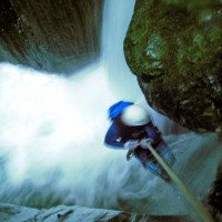
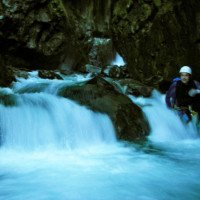
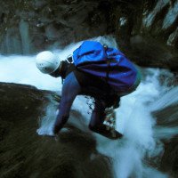
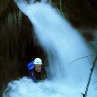
Wasserreicher Wander- und Abseil-Canyon
Watery hiking and rappel canyon
Nord
Gneiss
Sintesi:
traduzione alternativa
➜
Lingua originale
Wasserreicher Wander- und Abseil-Canyon
Watery hiking and rappel canyon
Accesso:
traduzione alternativa
➜
Lingua originale
Vom Zentrum in Sondrio 4,3 km auf der SS 38 am rechten Ufer der Adda in Richtung Lago di Como. Am Ende ines Gewerbegebiets rechts der Straße biegt man nun links ab üb die Adda und fahren in südlicher Richtung nach Caiolo. In der ortsmitte biegen wir links ab, um dann vor der Brücke über den Livrio wieder rechts abzubiegen. In der Straße am orograf. linken Ufer des Livrio suchen wir einen Platz für das untere Auto.\nMit dem zweiten fahren wir 1 km (ab Straßenbrücke in Richtung Sondrio (NO), biegen dann rechts ab und fahren nicht ganz 2 km bis zu den Häusern von Albosaggia am bewaldeten Hangfuß. Von hier geht es in Richtung WSW die Via Torre hinauf bis zum Weiler San Antonio (2,5 km ab Albosanggia). Dann noch etwa hundert Meter weiter und am Waldrand das zweite Auto abstellen.
From the center of Sondrio, take the SS 38 for 4.3 km along the right bank of the Adda towards Lago di Como. At the exit of the industrial area on the right of the road, turn left on the Adda and go south towards Caiolo. In the center of the village turn left and then right again before the bridge over the Livrio. In the street on the orographic left bank of the Livrio we look for a place for the lower car.\nWith the second one we go 1 km (from the road bridge towards Sondrio (NE), then we turn right and go not quite 2 km to the houses of Albosaggia at the wooded foot of the slope. From here, head WSW up Via Torre as far as the hamlet of San Antonio (2.5 km from Albosanggia). Then continue for about a hundred meters and park the second car at the edge of the woods.
Avvicinamento (25 min):
traduzione alternativa
➜
Lingua originale
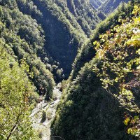
Wir suchen einen undeutlichen Pfad, der vom Auto weg in südlicher Richtung auf das Tal des Livrio zuläuft, den Hang diagonal nach unten quert und die Bachsohle erreicht.
We look for an indistinct path that runs away from the car in a southerly direction towards the Livrio valley, crosses the slope diagonally downwards and reaches the streambed.
Giro (3 h 30):
traduzione alternativa
➜
Lingua originale
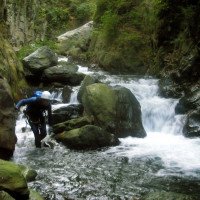
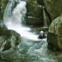
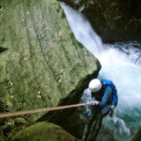
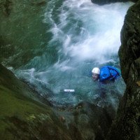
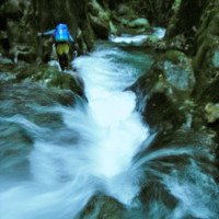
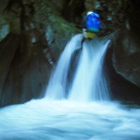
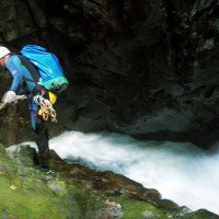
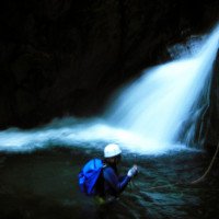
Zustieg nicht ganz einfach zu finden. Anfangs im Bachbett langer Marsch über "Schutthalde" bis zur Verengung. Auch dann nicht überwältigend. Mehrfach kleine Abseiler "im Strahl".
Access not easy to find. Initially in the streambed long march over "Schutthalde" to the constriction. Even then not overwhelming. Several times small rappel "in the stream".
Ritorno (20 min):
traduzione alternativa
➜
Lingua originale
Nach der Wasserableitung und der Geschiebebremse links hinaus auf den Weg und weiter bachabwärts zum Auto.
After the water drainage and slide brake, turn left out onto the trail and continue downstream to the car.
Coordinate:
Inizio del canyon
Fine del canyon
Parcheggio all'entrata
(descente_3)
Parcheggio in uscita
(descente_4)
Letteratura:
Mappa
CNS 278 Monte Disgrazia, 1:50 000
Mappa
IGMI 25/V - 18 Fusine II-NO, 1:25 000
Mappa
Kompass WK 104 Foppolo, 1:50 000
Libro Canyoning
10º Raduno Internazionale Canyoning
Associazione Italiana Canyoning
2012
44 Schluchttouren:
Provincia di Sondrio:
1-3 Bodengo, 4 Bondone, 5 Casenda, 6 Cervio, 7 Cormor, 8 Ferro, 9 Lesina, 10 Madrasco, 11 Mengasca, 12 Pilotera, 13 Armisa, 14 Bomino, 15 Caronella, 16 Forcola, 17 Lanterna, 18 Livrio, 19 Malgina, 20 Masino, 21 Mello, 22 Pedena, 23 Ranciga, 24 Val Piccola;
Provincia di Como:
25 Bares, 26 Camoggia, 27 Darengo, 28 Lirone, 29 Perlana, 30 Cairo, 31 Cavargna, 32 Giuf, 33 Rezzo, 34 Giulia;
Provincia di Lecco:
35 Acquaduro, 36 Boauuo, 37 Esino sup., 38 Esino inf., 39 Monastero, 40 Gallavesa, 41 Moregallo, 42 Legnone, 43 Morterone, 44 Rasga.
Libro Canyoning
Canyoning in Lombardia
Pascal van Duin
Edizioni TopCanyon
2005
978-8890175305
Info sul canyon Cwiki
Info sul canyon Descente
Info sul canyon Ropewiki
09.03.2023
System User
⭐
★★★★★
📖
★★★
⚓
★★★
nessuna traduzione disponibile
Info: Teile der Canyonbeschreibung wurden automatisiert übernommen. Konkret die Felder Weblinks, Koordinaten, Rating, Länge des Canyon, Einfachseil Mindestens von https://www.descente-canyon.com/canyoning/canyon/21717
09.03.2023
System User
⭐
★★★★★
📖
★★★
⚓
★★★
nessuna traduzione disponibile
Daten importiert von https://canyon.carto.net/cwiki/bin/view/Canyons/LivrioCanyon.html
Idrologia:
