v3 a3 IV
3h
40min
2h15
5min
1070m
930m
140m
24m
2x30m
12
850m
a piedi
Valutazione:
★★★★★
3.8 (7)
Info:
★★★
2.8 (4)
Belay:
★★★
2.6 (5)
Sintesi:
traduzione alternativa
➜
Lingua originale
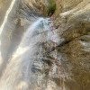
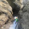
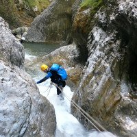
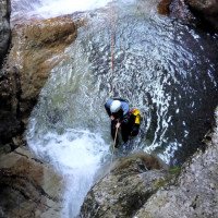
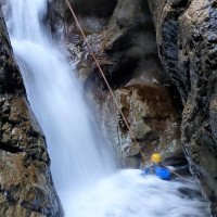
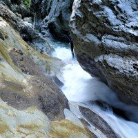
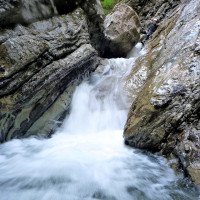
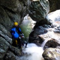
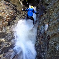
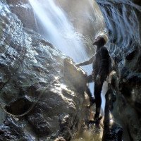
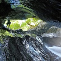
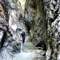
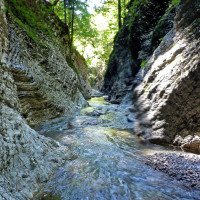
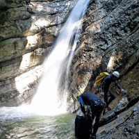
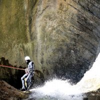
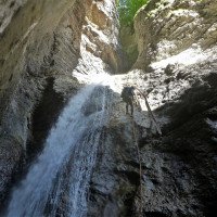
Wasserreiche und attraktive Schlucht mit einigen nicht allzu hohen Abseilern.
Watery and attractive canyon with some not too high rappel.
Sud
Sintesi:
traduzione alternativa
➜
Lingua originale
Wasserreiche und attraktive Schlucht mit einigen nicht allzu hohen Abseilern.
Watery and attractive canyon with some not too high rappel.
Accesso:
traduzione alternativa
➜
Lingua originale
Von Claut in das Val Settimana und bis zu dem Park- und Picnic-Platz, wo die Straße endet.
From Claut into Val Settimana and up to the park and picnic area where the road ends.
Avvicinamento (40 min):
traduzione alternativa
➜
Lingua originale
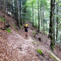
Vom Parkplatz auf dem Steg über die Settimana und weiter zum Rifugio Pussa. Hinter der Schutzhütte links den Weg aufwärts. Dieser hält zunachst auf das Tal des Rio Stuet zu und führt dann am Hang entlang in nördlicher Richtung. Bei einer Verzweigung mit Wegweiser nimmt man den Weg Richtung Col de Post. Er führt hinunter zum Bachbett des Rio Stuet (Einstieg).
From the parking lot on the footbridge over the Settimana and continue to the Rifugio Pussa. Behind the refuge, turn left up the path. The path continues towards the valley of the Rio Stuet and then follows the slope in a northerly direction. At a fork with a signpost, take the path towards Col de Post. It leads down to the streambed of the Rio Stuet (entry).
Giro (2 h 15):
traduzione alternativa
➜
Lingua originale
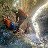
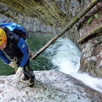
12 Abseiler, viel Abklettern, kurze Laufpassagen, wenige Sprungmöglichkeiten
7 rappels, lots of downclimbing, short walking passages, few possible jumps, north-south orientation
Ritorno (5 min):
traduzione alternativa
➜
Lingua originale
Bei der Mündung des Rio Stuet in die Settimana über den Holzsteg wieder zurück zum Parkplatz.
At the confluence of the Rio Stuet with the Settimana, return to the parking lot via the wooden footbridge.
Coordinate:
Inizio del canyon
Fine del canyon
Letteratura:
Mappa
TABACCO 021, Dolomiti di sinistra Piave, 1 : 25 000
Mappa
IGMI 25/V - 13 Forni di Sotto III-SE, 1:25 000
Libro Canyoning
Canyoning IN DOLOMITI e DINTORNI
Matteo Bortot, Roberto Sartor
ViviDolomiti
2019
978-8899106669
45 Canyon-Beschreibungen
Info sul canyon Cwiki
Info sul canyon Descente
Info sul canyon Ropewiki
AIC Catasto
Altro info sul canyon
Altro info sul canyon
16.10.2024
MartiiinYan09
⭐
★★★★★
📖
★★★
⚓
★★★
💧
Alto
Completato ✔
nessuna traduzione disponibile
Automatisch importiert von Descente-Canyon.com für Canyon Rio Stuet
Parcouru après Ciorosolin, sympa, la faille est superbe et tout s'enchaine. Belle découverte....
(Quelle: https://www.descente-canyon.com/canyoning/canyon-debit/23026/observations.html)
02.08.2024
Péter Bonczi
⭐
★★★★★
📖
★★★
⚓
★★★
💧
Normale
Completato ✔
traduzione alternativa
➜
Lingua originale
Szép kanyon. Kényelmes megközelítés a túristaúton. Érdekes geológia. Jól felszerelt. Minimum 15 db törés van felszerelve, amiből több lemászható.
Nice canyon. Convenient approach on the hiking trail. Interesting geology. Well equipped. At least 15 breaks installed, several of which can be climbed down.
10.05.2024
Horst Lambauer
⭐
★★★★★
📖
★★★
⚓
★★★
💧
Alto
Completato ✔
traduzione alternativa
➜
Lingua originale
30.09.2023
Jak87
⭐
★★★★★
📖
★★★
⚓
★★★
💧
Normale
Completato ✔
Tour breve, semplice e bello, parecchie disarrampicate, nessun tuffo possibile
15.09.2023
Jeroen Kirchner
⭐
★★★★★
📖
★★★
⚓
★★★
💧
Normale
Completato ✔
traduzione alternativa
➜
Lingua originale
The mix of anchors all ok, one of the last ones is a chain behind the corner a step down from the old 2 spits with rope (best not to miss the chain obviously) flow still considerable for the time of year. Done after Ciol del Pes
The mix of anchors all ok, one of the last ones is a chain behind the corner a step down from the old 2 spits with rope (best not to miss the chain obviously) flow still considerable for the time of year. Done after Ciol del Pes
16.08.2023
Wolfgang
⭐
★★★★★
📖
★★★
⚓
★★★
💧
Normale
Completato ✔
traduzione alternativa
➜
Lingua originale
Netter eher kurze Tour. Alles ok hier. Wir haben zwar die Anzahl der Abseiler nicht bewusst gezählt , waren aber sicher mehr als 10
Nice rather short tour. Everything ok here. We have not consciously counted the number of rappels , but were certainly more than 10
09.06.2023
Horst Lambauer
⭐
★★★★★
📖
★★★
⚓
★★★
💧
Alto
Completato ✔
traduzione alternativa
➜
Lingua originale
Sehr schöner Canyon, gut kombinierbar mit Col del Pes und Cirosolin. Alle Stände in perfekten Zustand. Geologisch sehr interessant wegen der schönen Kalksteinschichtungen. Aber auch so ein must-do. Teilweise sehr eng eingeschnitten und schöne Passagen.
Wir waren ein sehr gutes Team und waren in 1,5h Auto-Auto durch.
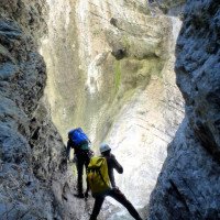
Very beautiful canyon, well combined with Col del Pes and Cirosolin. All the stands in perfect condition. Geologically very interesting because of the beautiful limestone strata. But also such a must-do. Partly very narrow cut and beautiful passages.
We were a very good team and were in 1.5h car-car through.
09.03.2023
System User
⭐
★★★★★
📖
★★★
⚓
★★★
nessuna traduzione disponibile
Info: Teile der Canyonbeschreibung wurden automatisiert übernommen. Konkret die Felder Weblinks, Koordinaten, Rating, Länge des Canyon, Einfachseil Mindestens von https://www.descente-canyon.com/canyoning/canyon/23026
09.03.2023
System User
⭐
★★★★★
📖
★★★
⚓
★★★
nessuna traduzione disponibile
Daten importiert von https://canyon.carto.net/cwiki/bin/view/Canyons/RioStuetCanyon.html
Idrologia:
